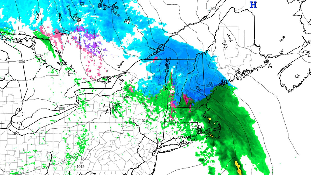
We have what we call a "Light System" passing through the region during Monday into early Tuesday morning that will bring a little bit of everything to the Northeast including some limited opportunities to score even more pow for one or even two more days before the warmup hits in earnest.
We consider a system to be a "light" when snowfall totals are generally less than 6", which is our definition of a powder day, though isolated amounts of 6" or more are possible by Tuesday morning. Coverage of these systems is condensed and this will likely be the only update unless modeling changes significantly by Monday morning.
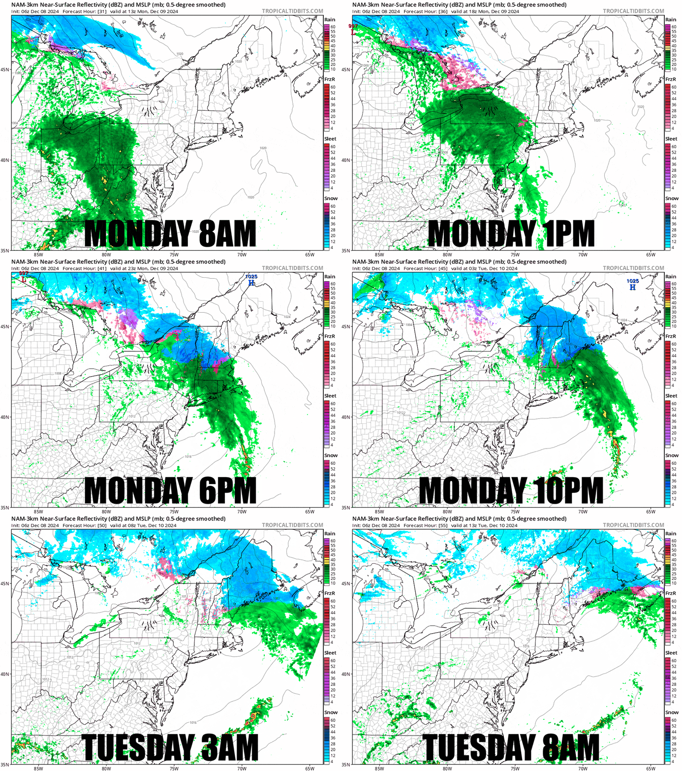
Let's jump into a 24 hour simulated radar loop showing the mixed bag as it moves across the region from 8AM on Monday through 8AM on Tuesday.
I'll go over the Forecast for subscribers below covering precipitation types, snowfall, wind issues, and the potential of lift icing as well as tips on where to go.

