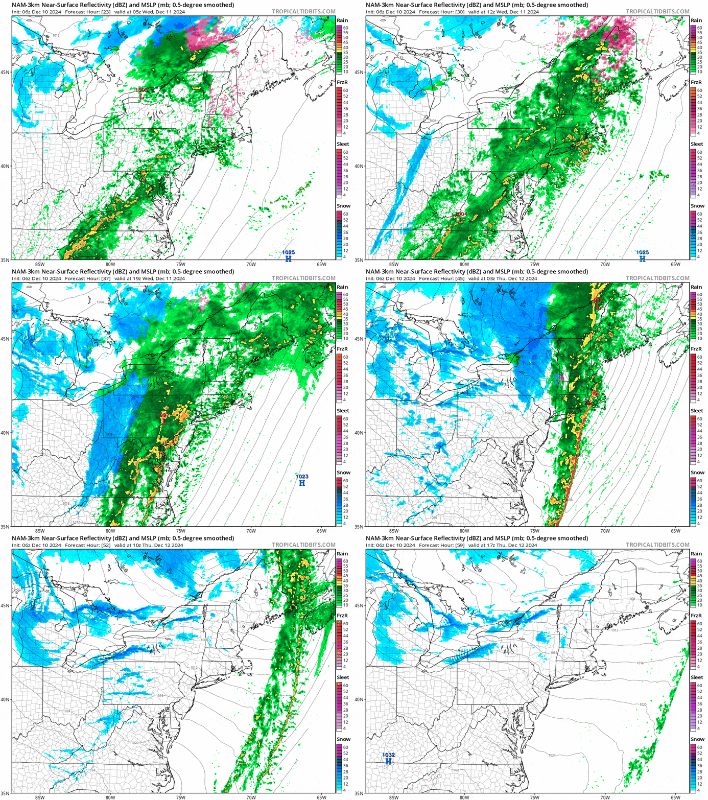
Yeah, this doesn't look good, but we've seen way worse, in fact last December we saw way, way worse with 3 different storms with 2 to 3 times the r@infall. Let's look at how not good it looks to start just to set this up with a simulated radar loop that lasts from Midnight Wednesday morning through 4PM Thursday.

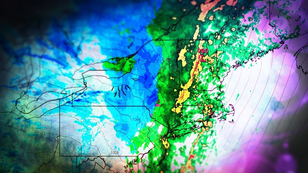
So the bad news is that ski areas will widely see 1" to 2.5" of r@!n with the exception of W-NY and W-PA. The good news is that everyone who is starving for water for their snowmaking ponds should have no immediate concerns come Thursday and there will be cold behind this system that should last through some point on Sunday giving ski areas an opportunity to expand their snowmaking terrain. We'll also see a brief period of back-end snow right behind the storm and then lake effect lasting through Friday morning that should produce some winners.
I'll start off with the Precipitation Forecast covering both r@!n, freezing r@!n, and snowfall and I will cover what to generally expect by this weekend in terms of surface conditions, then I'll cover the Wind Hold Forecast for both Wednesday and Thursday.


