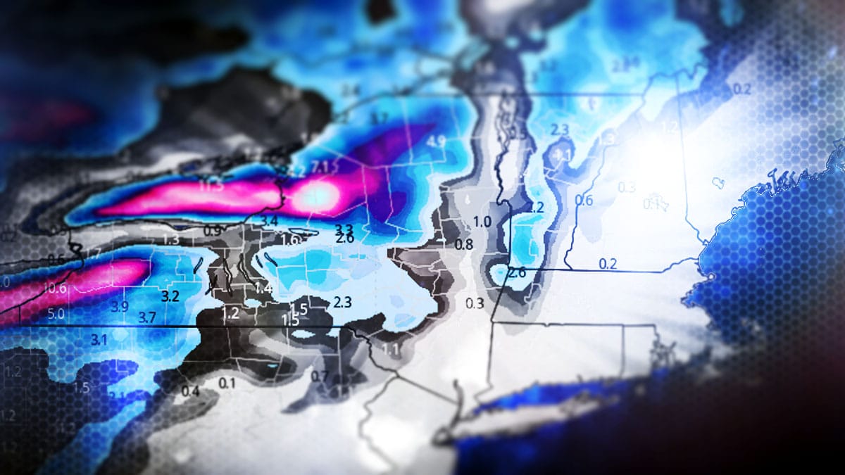
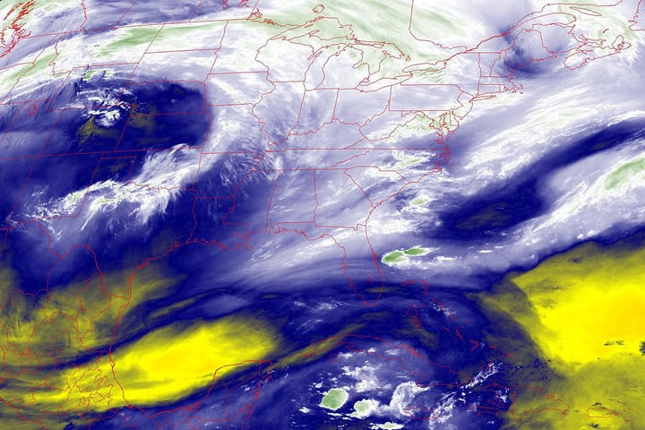
This season got off to one of the slowest starts we've ever seen and then BAM, winter arrived and delivered for 10 days straight with virtually non-stop snow in parts of the region, but now we're looking at a washout. Welcome to the Ice Coast! We've been here many times before, it's just a phase, it's still just early in December, and all is not lost. I told you to hit it last weekend and if you did you probably scored! Let's look at the simulated radar from 7AM Wednesday through 7AM on Thursday to set this up.
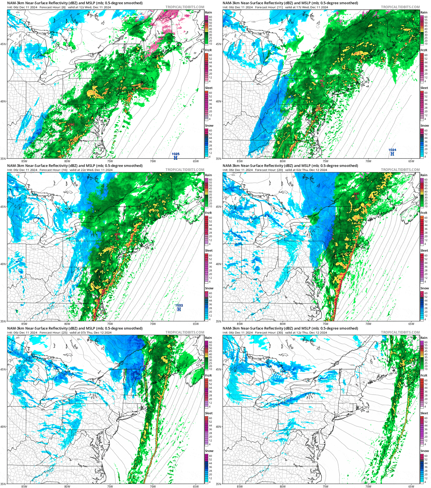
The drought that preceded the start of winter has become increasingly impactful with heavy demand for water from snowmaking ponds without the ability to refill them, and I'm hearing of impacts from this across New York and New England. The r@!n and brief warm spell is in fact both bad and good. It will melt snow, but right now we need man-made snow to survive events like this, and they're not uncommon in December.
We do have snow behind this storm, and there will be a handful that recover by the weekend. I'll cover that in the Precipitation Forecast with an updated Snowfall Forecast. I'm also going to update the Wind Hold Forecast for Thursday. I will then cover the Weekend Outlook. I won't go into any detail on tonight's flash freeze except to say that the freeze comes late in New England and may result in terrain holds come Thursday morning. Thursday is widely not a good ski day.

