We're going to bring back a weekly feature where I start with a summary of the week and then go through how the weather looks for every day of the week ahead. I'll show the 1PM temperatures from the National Blend of Models as well as maps appropriate when there is active weather showing the precipitation and wind. Since there are 7 days covered and confidence also becomes lower with time, the daily summaries will be brief especially when there is no active weather.
Some weeks there will be a lot of variability associated with storms and air masses but this week things are likely pretty well modeled with maybe the exception of what happens Saturday when a clipper moves through the Northeast.
Let's look at the 7 day precipitation intensity loop from the latest run of the ECMWF to set the week up.
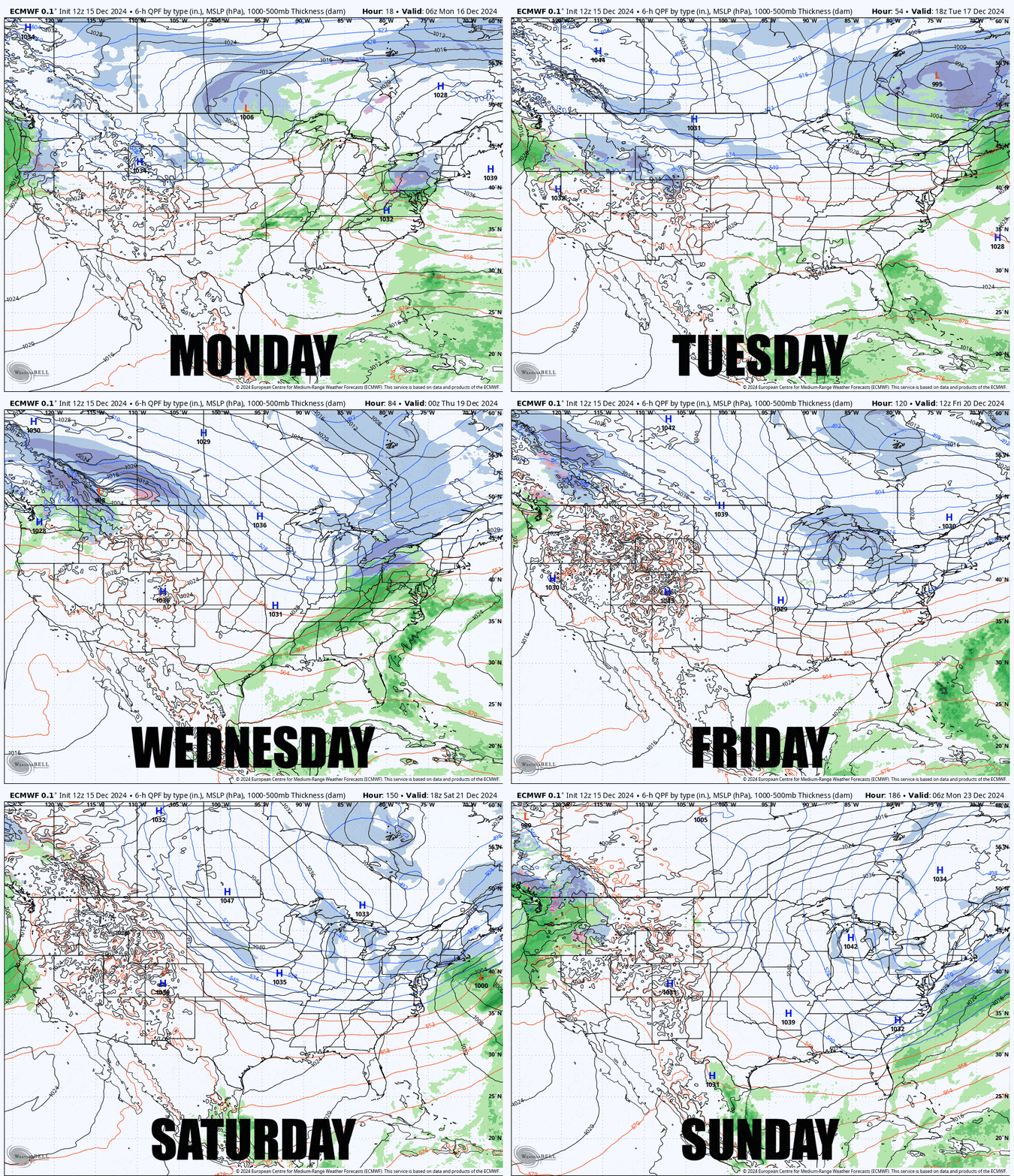
Since this is a new format please give us feedback in the comments section on our site with this article and tell us what you liked, and also what you think should be different. Sunday evening is the likely time this will come out.
We will also be doing "Weekend Outlooks" covering Friday through Monday in similar fashion with a stronger emphasis on recent snowfall and conditions in its own weekly article probably Thursday morning every week.
We are currently working on introducing a daily morning feature called "The Snowology Report" with details from ski areas across the Northeast that eventually will allow you to choose your favorite ski areas and get daily updates with a focus on their weather and conditions. These too will be less wordy but will always have helpful visuals and some tables of useful data.

