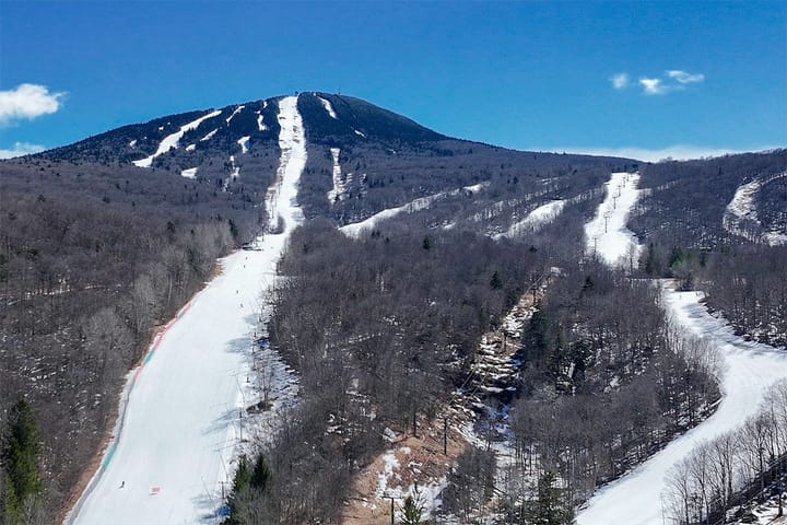
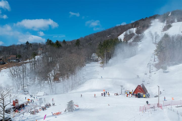
Thursday will be a sleeper pow day. Not a super deep type of pow day, but there should be a handful of open ski areas to reach about 6"-10". On Wednesday we also start our refreeze which will progress from just the northern mountains firming up on Wednesday and becoming progressively cooler by day across the region until early Sunday morning when some northern areas will dip below 0F setting up a very chilly day.
Yup, this is 'super blizzard' that many were talking about last week. Models have a habit of changing from what they showed 7 days out so that shouldn't be much of a surprise. Unfortunately this storm progressively weakened in the models as the trough, which is the main element of this storm, just isn't going to dig deep enough to spin up something large.
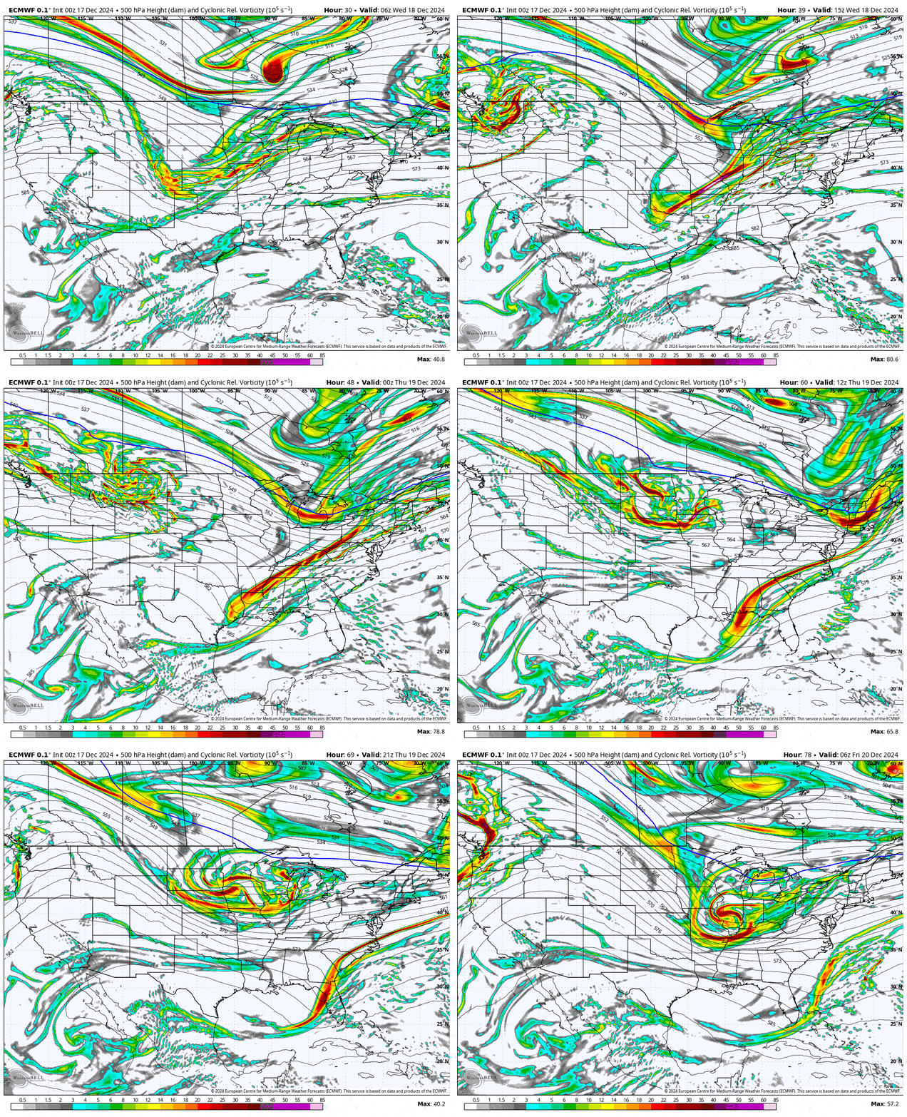
It's easiest to visualize a trough as an upside down wave that moves west to east, crests, and then curls over. When it curls it creates a surface low, and this is a pretty good analogy given the fact that the atmosphere is in fact a fluid (note, gases are fluids but not liquids). Here's what that looks like when viewing the vorticity (storm energy) at about 18,000' on Wednesday and Thursday.
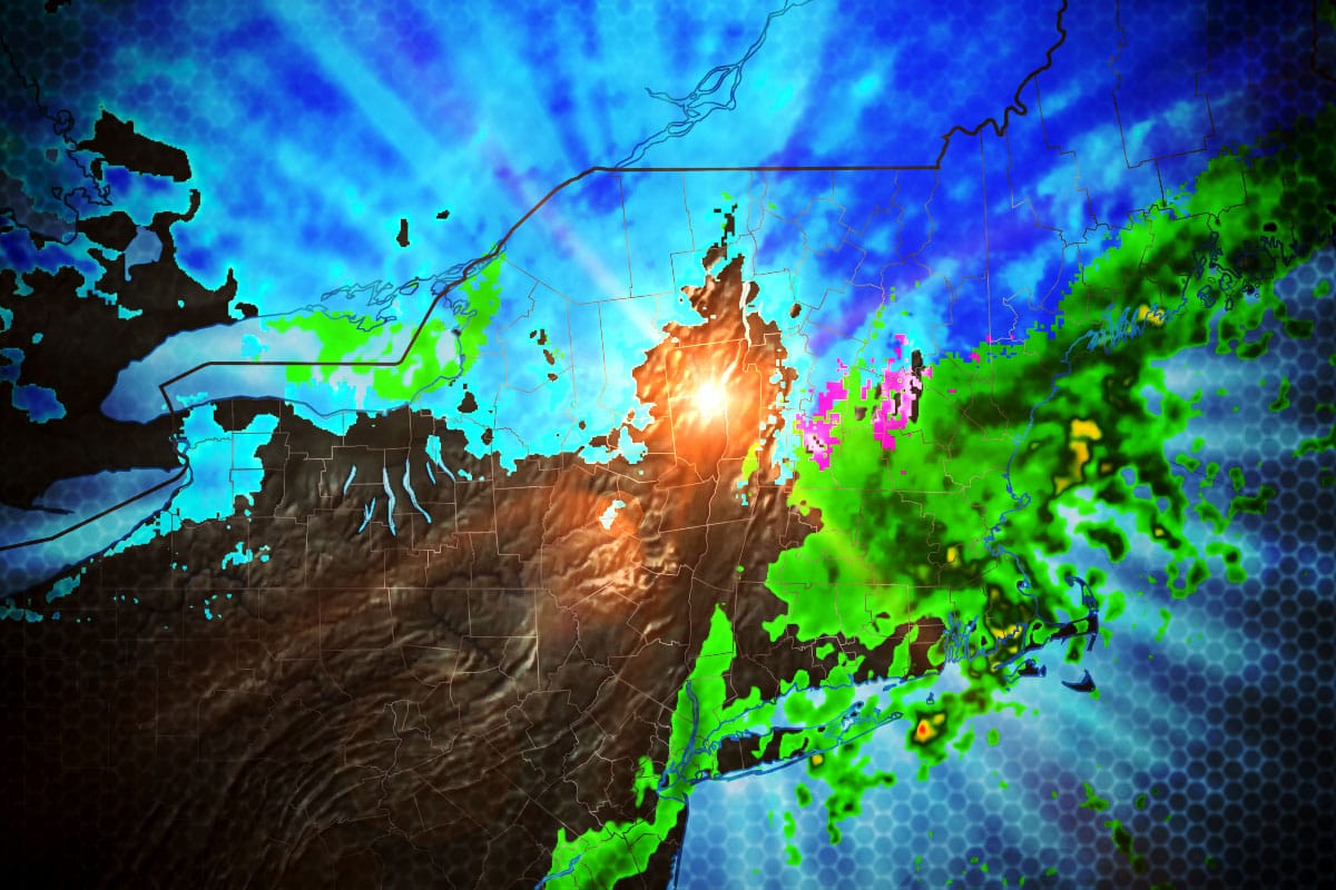
Let's take a look at the very same model showing 6-hour precipitation intensity covering all of Wednesday and Thursday so that you can compare it to the above.
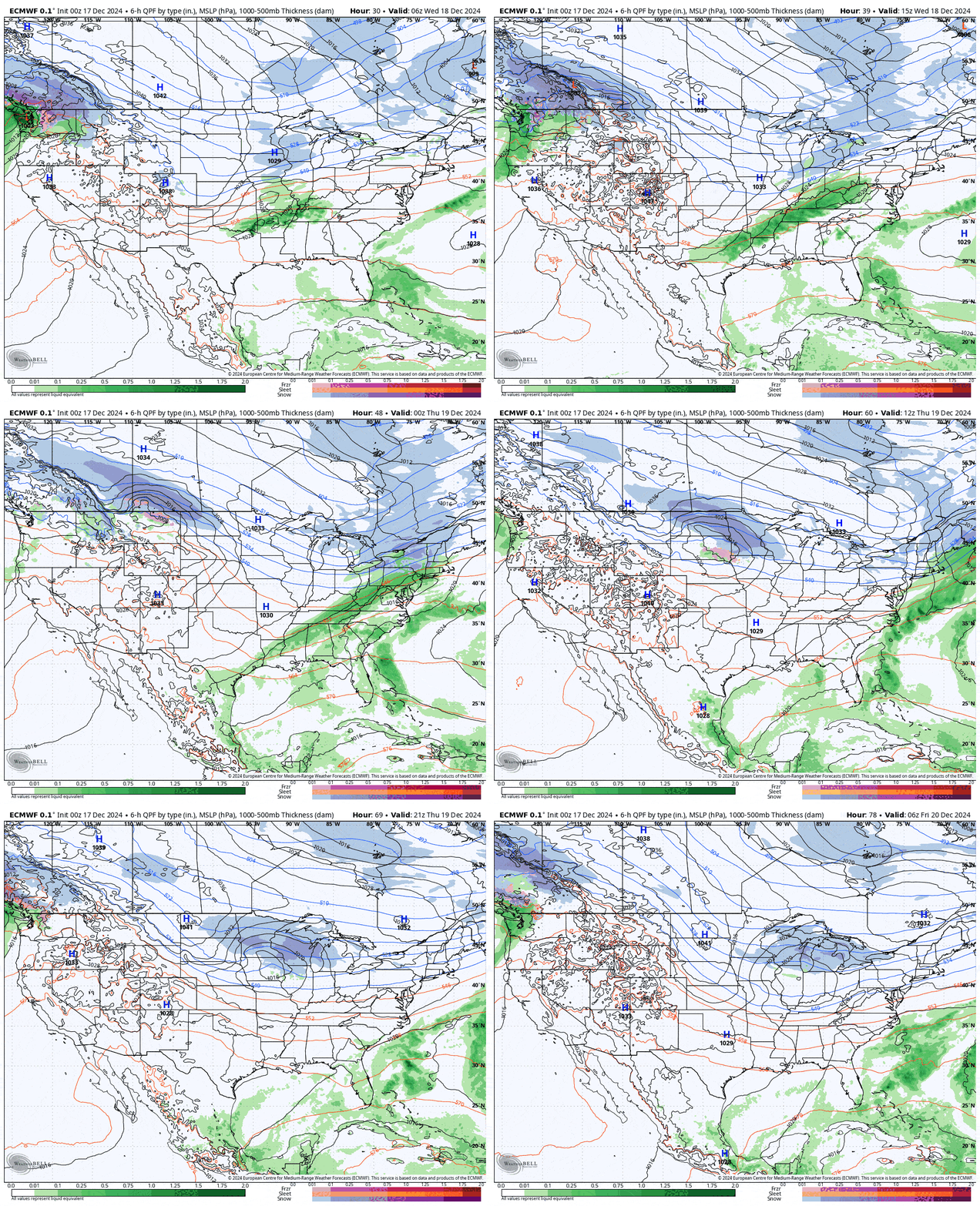
Snow will start in the afternoon on Wednesday in the western reaches of the Northeast and by Thursday morning at open the storm will already be past Maine and entering the Maritimes with just some light to moderate snow still falling on the back end off the lakes and on the upslope primarily into the ADKs and Northern Greens which should taper off by Thursday afternoon.
I'll cover the Precipitation Forecast to help identify where the opportunity will be. There are also some hints of limited wind issues on Thursday which I will also cover in the Wind Hold Forecast. Travel issues on Thursday will not be notable given the timing of the snow allowing highways to be plowed before the morning commute. I'll take a little extra time to describe some things in more detail given that this isn't a complex system to forecast.

