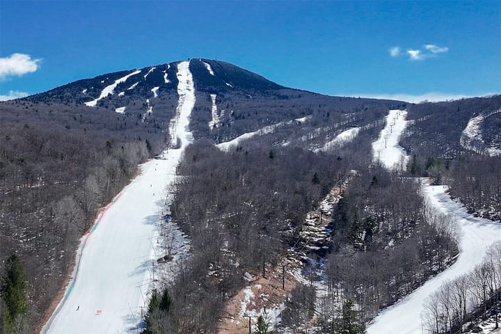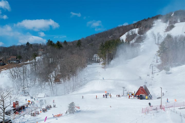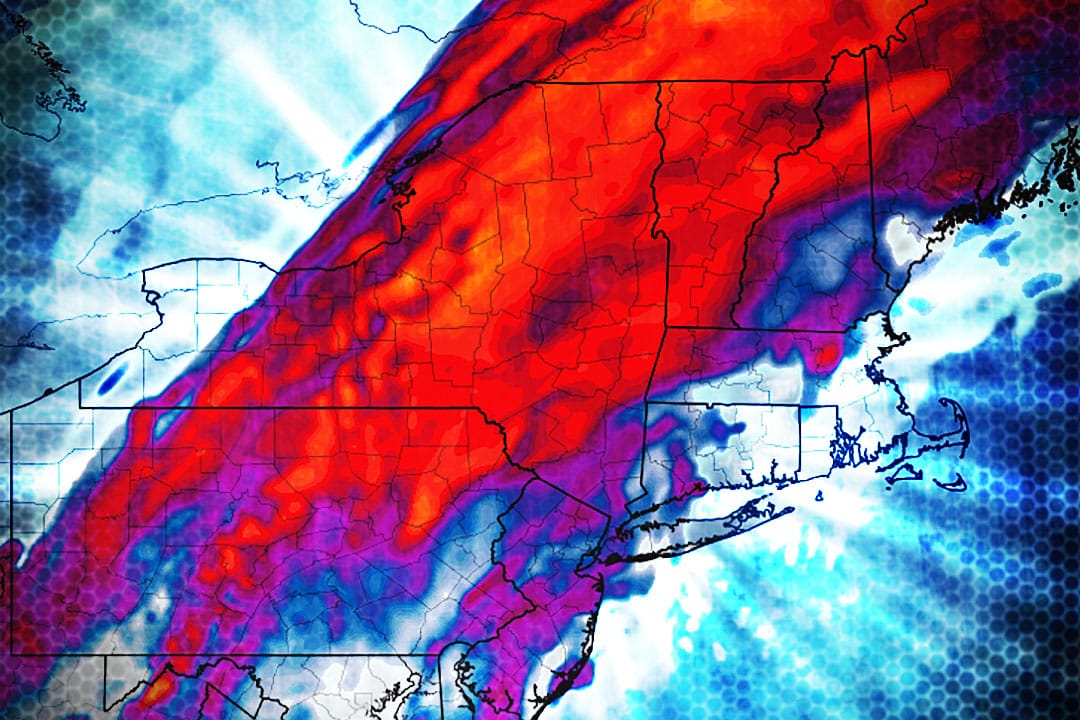
We're a little starved for snow after a solid start to the month finally got the ski industry into full swing. This storm is just a taste and not the enchilada supreme, but it will be one of the best days we are likely to see for over another week. While it's not necessarily worth a vacation day away from work, Thursday should be rather quiet with pleasant temperatures and just enough new snow to make it a pretty good day. Let's check out the simulated radar showing the wide view from Noon today through Noon Thursday.
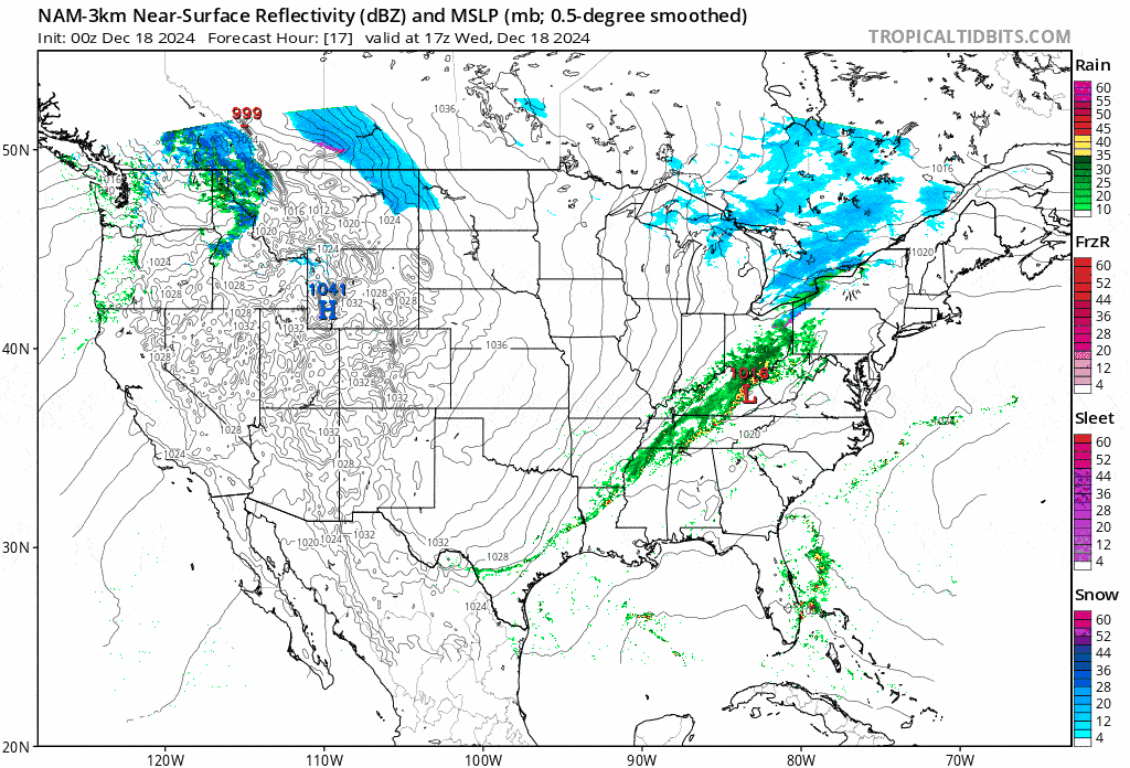
Pay attention to that clipper as that is Friday's light system, but models are still playing with a late coastal spin up around the Gulf of Maine that has a small chance of bringing more snow around the seacoast come Saturday. I'll cover that in a Weekend Outlook covering Friday through Monday as well as more detail on the incoming cold.
This forecast is pretty straightforward. I'll cover the snowfall as well as the r@!n and the conditions that you are likely to experience on Thursday in the Snow & Precipitation Forecast. I'll then revisit the Wind Hold forecast for Thursday but the risk is quite limited and is often relative to the strength of the storm.