There are two primary weather stories this weekend, first is a clipper that will bring some light snow to the region on both Friday and Saturday, and second is a progressive cool down that will peak on Sunday. Let's start off with a look at a 6-hour precipitation intensity loop covering Friday through Monday from the ECMWF.
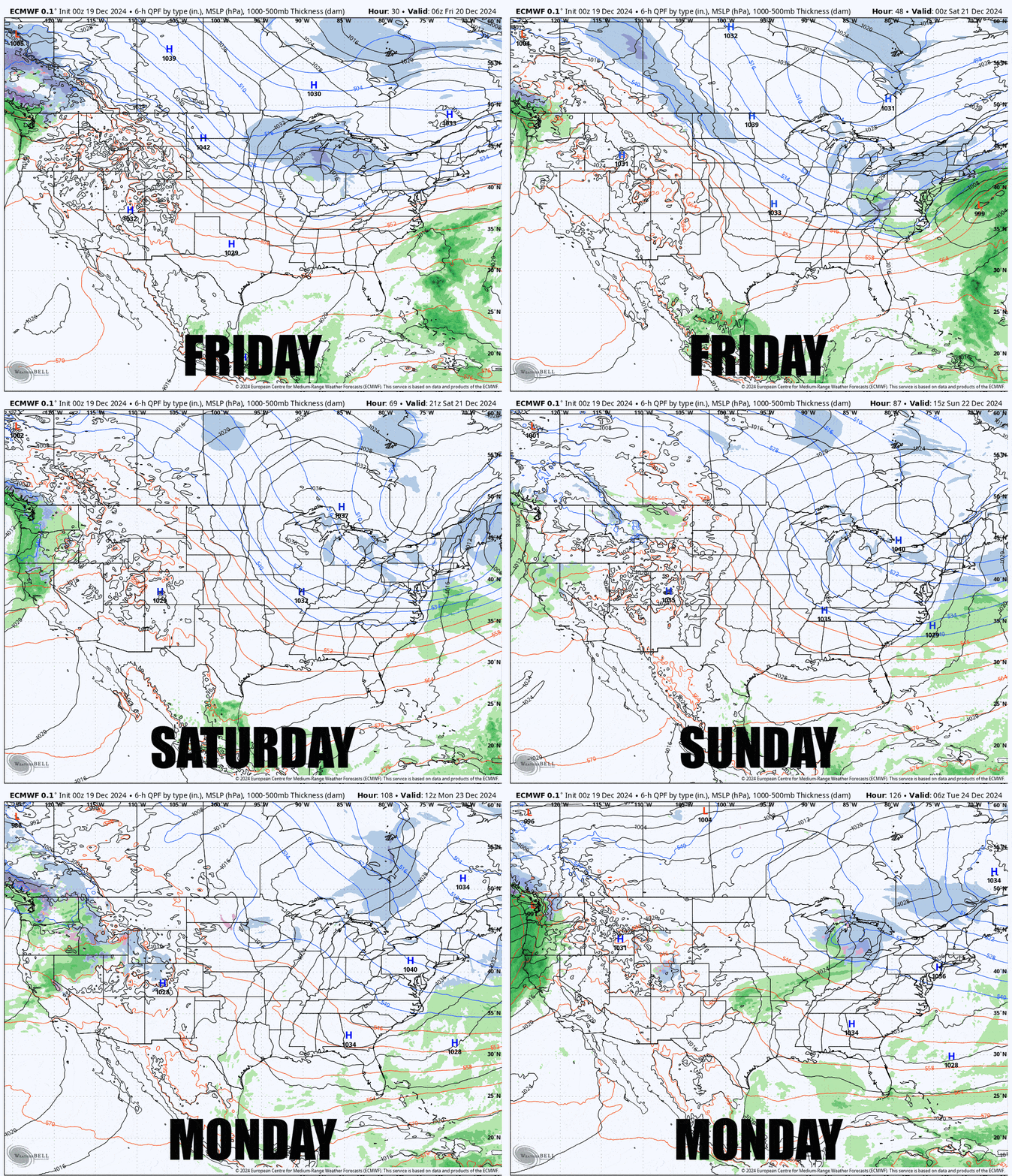
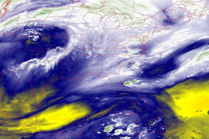
The clipper will transfer energy to a coastal low that first develops off of North Carolina and tracks up into Nova Scotia. That transfer will suck most of the moisture and instability out to sea unfortunately so only up to 4" is expected with a focus on W-NY and C-NY. There is a still a wildcard scenario that could spin up a second coastal low that could bring snow around the Cape and possibly parts of Maine. If that happens we're probably only talking about notable along the New England seacoast. This scenario could also wrap snow back behind on Saturday bringing both lake effect and upsloping snow. Behind that storm there is a little bit of risk of isolated wind holds in the Whites and Longfellows on Sunday.
Temperatures will progressively drop through Sunday night before starting to warm again. Saturday, Sunday, and Monday many will want to take some extra care to dress appropriately for the weather. Sunday morning around dawn and at the depth of the cold outbreak we'll see temperatures ranging from about -10F to 10F at the bases while daytime base temperatures will rise to about 0F to 20F at ski areas. Saturday will run about 10F warmer and Monday about 15F warmer. You might think that the extra cold weather will be great for snowmaking, but in the more northern areas temperatures will be so low that excessive amounts of water will be lost to evaporation and production actually goes down when you drop below zero, but in coastal and more southern areas they will hit optimal production levels and crank out really nice quality snow in large volumes.
Due to this week's warm up sub-surfaces are going to be hardpack almost everywhere starting Friday and lasting through Monday. The snow that came in overnight will not be enough to separate weekend traffic from that sub-surface so expect variabile surface conditions on steeper terrain and remember that snow gets pushed to the edges so ski that if you are having issues with edge hold. This is the type of weekend that you want to have sharp edges.
Below I'll provide a bit more detail day by day for subscribers.

