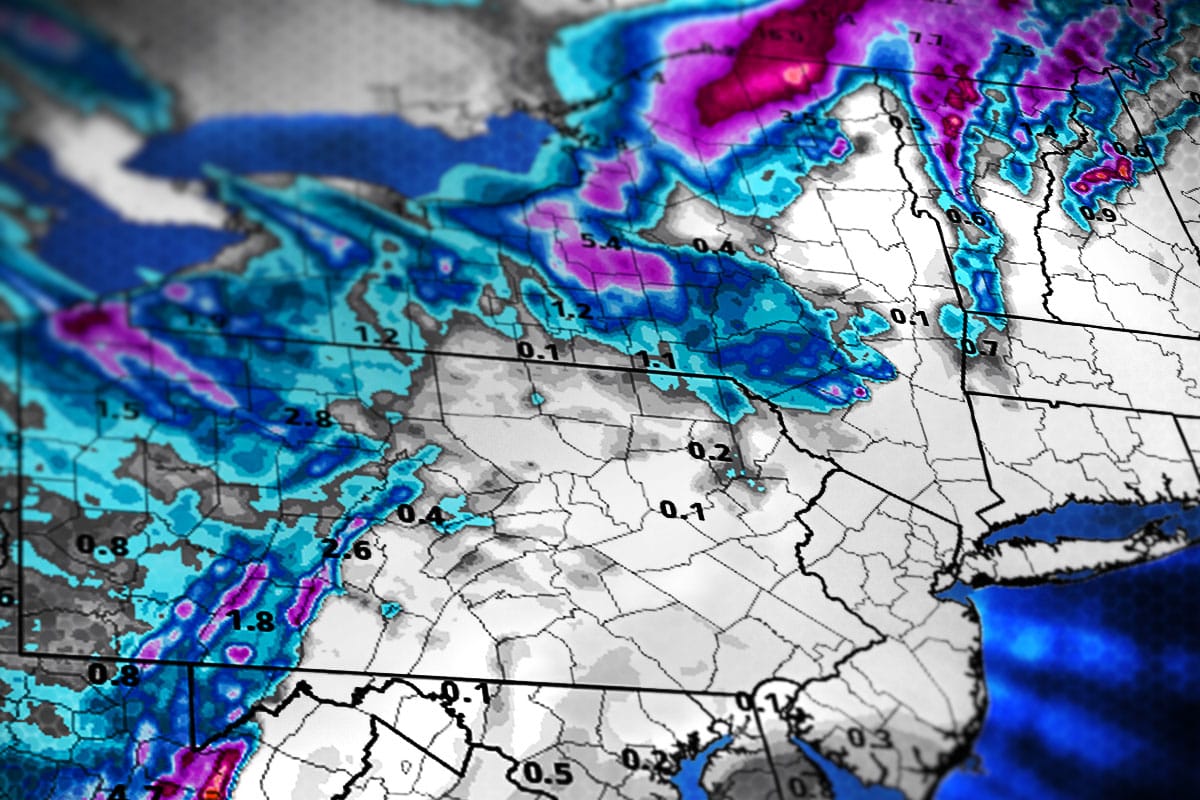
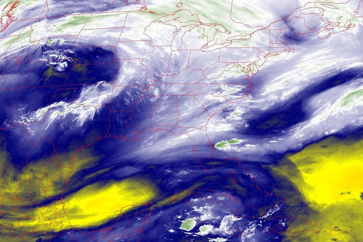
Well folks, that same pattern that brought us 5 days of back end snow is coming back with multiple small waves of moisture on the upslope, some lake effect, and lots of wind for 3 more days. We're expecting some isolated totals in excess of 2 feet by Friday morning and widespread wind holds especially in Northern New England. Let's take a look at the extra wide view covering these three days showing how storms are tracking north into the Maritimes and then throwing moisture back into the Northeast.
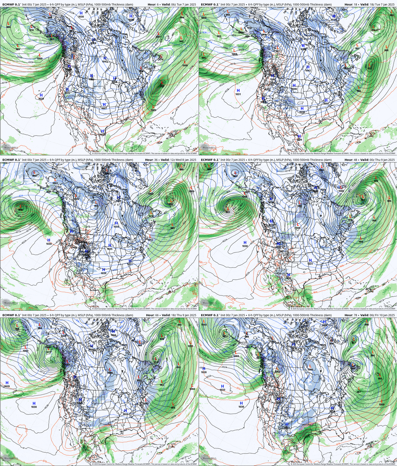
I'm expecting 6" or more at 21 different tracked resorts in the Northeast, and over a foot of snow at 8 ski areas over a three day period. At the same time I'm forecasting wind hold risk at 27 different ski areas and generally 20+ each day both in areas of heavy snow and no snow. This however will set up the weekend for some really nice conditions in some spots and more ropes will be dropping.
I want to welcome all of our new subscribers. We grew our subscription base by over 10% in the last two weeks. Some overlook the perks in the Snowology Club that come with our subscriptions, and we have half off ticket deals from both Titus Mountain and Bolton Valley who are in the bonus zones, as well as lodging specials at Bolton Valley that are available Sunday to Friday nights. If you don't have pass access where this gets deep or want to hunt this without running into wind holds, the Snowology Club is a great way to ski off your pass without breaking the bank. Your discount can also be used for friends when you are present if you already have pass access!

I'll cover both the Snowfall Forecast and then the Wind Hold Forecast with detail on each of the three days including an update for today! If you are not a subscriber, consider signing up for a free 10-day trial. 87% of everyone who has trailed Snowology have become subscribers!

