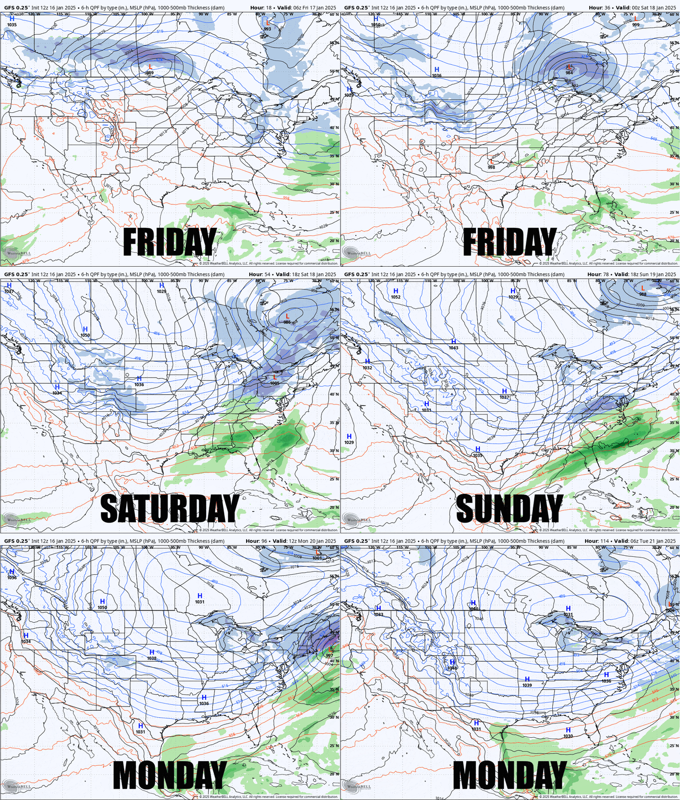
Ok folks we have a holiday weekend incoming along with a light system on Saturday night and then potentially a weak to moderate strength coastal storm starting Sunday night, and then the cold comes in force starting on Monday to cap off the holiday weekend. Let's take a look at the GFS covering this 4 day period.

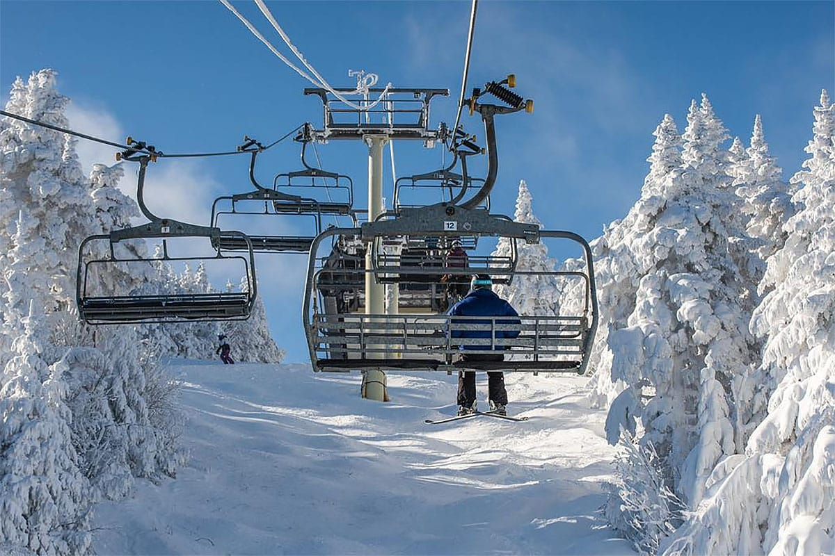
We're not at the point of pinning down the Sunday night storm quite yet and I'm not positive if it will get "storm" status yet so look for more updates. The weather is sort of active this weekend but nothing extreme until the cold hit bottoms out around Wednesday morning next week stacking an Arctic blast on top of the coldest time of year which may close some ski areas and cause some lift issues in addition to being simply cold as heck. We will warm up a little on Friday and then again on Saturday, though not a full melt, and there is potential of some wind issues on Saturday as well, which may not be severe but lift capacity is important on a holiday weekend for keeping lines down.
Regarding conditions, NY and VT are where it's at right now for packed powder and powder. The pattern we are in right now is typical for mid-winter and for the first time in years the lakes are producing lots of snow and it is staying frozen. Snow Ridge finally got a direct hit with 21" reported and the Powder Pocket will open this weekend. Titus just keeps adding also with another 13" this week with near 6 feet of snow in the last 2 weeks and the Upper Mountain opens Friday untouched since this last dump. That lake effect and orographic lift is also feeding a lot of the snow in VT in the last couple of weeks where Sugarbush has reported over 4 feet of snow this month, Bolton Valley just came in with 13" from the last 3 days and are past 2/3 open now, and Jay Peak also reported 21". The Eastern Townships are also packed with snow now plus I find the area charming. In NH Bretton Woods has been stacking up nicely, and higher up on Cannon it is also accumulating slowly over time up high but they're still at low tide generally. Can't forget about the Alleghenies in PA as they have also stayed frozen and keep getting smaller accumulations that should really be helping conditions.
Man made snow is also flowing nicely and the colder temps have been helping to make it more airy. Conditions should generally be good to great relative to what they typically are across the Northeast and terrain should be generally above average for this time of year. It will be a great weekend everywhere in the Northeast and we're going to see some strong visitation except for Monday which will scare off the less hardy.
I'll cover the Daily Outlooks one by one for subscribers below with forecasts for snow impacting Friday, Saturday, and Monday, wind hold potential Saturday, and of course the afternoon temps, but first I want to remind everyone about your Snowology Club perks.
Snowology Club Discounts This Weekend
Before I jump into the weather for subscribers, I want to make sure I plug our Snowology's fantastic perk that allows you to ski off your pass without breaking the bank. Bolton Valley, Titus, Royal, and Snow Ridge have no blackouts on those discounts this Saturday and Sunday, and every one of them is in almost perfect to absolutely perfect condition. If you are blacked out on your pass, try one of these places as an escape. Bolton Valley might be a little more busy than the other three (surely not bad because they limit tickets) but those others at least should offer very short lines during the holiday.


