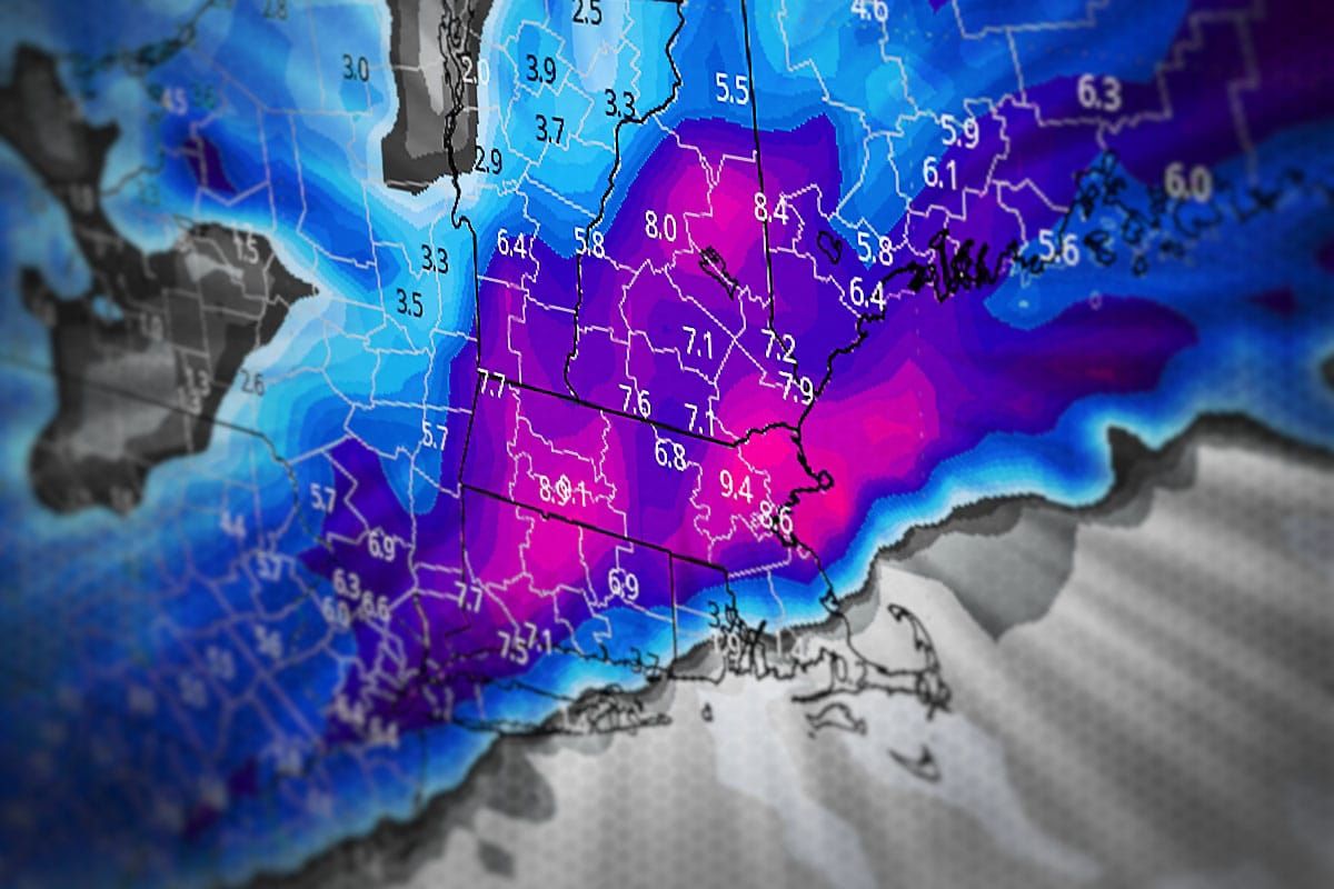
We have snow on both Saturday as well as Sunday afternoon through Monday morning with some notable travel issues Sunday evening and wind hold concerns both Saturday and Monday.
This is really two systems, the first one being on Saturday that will be the warm up with convergence and a weak shortwave near a slowly advancing cold front that will cause windy conditions during the ski day, some widespread accumulating snow, and I'm afraid also some r@!n.
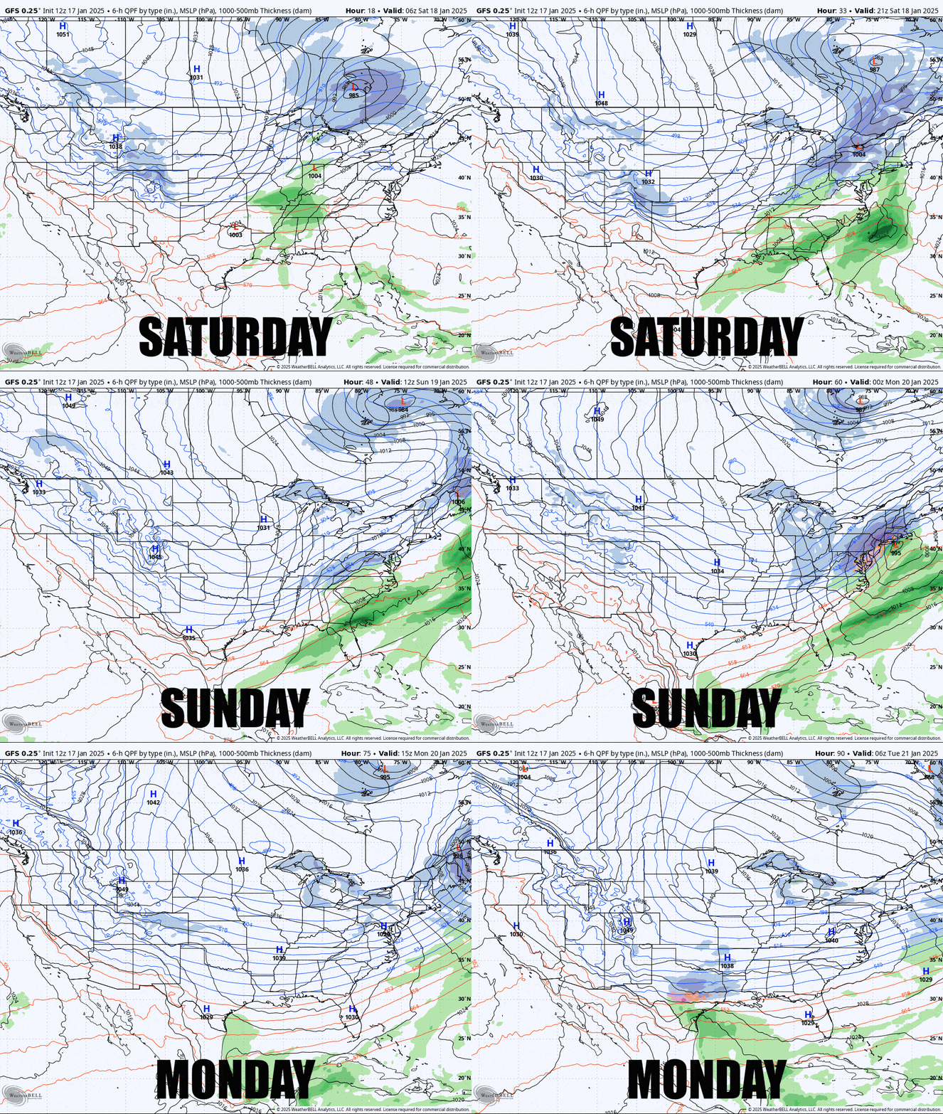
The second system is expected to start to spin up Sunday morning over North Carolina. We don't yet have universal model agreement on this storm yet but with impacts expected to start in less than 48 hours I'm going to have to take my best guess and that will be for a coastal snowstorm of moderate intensity, though with both some downside and definitely some upside too. Let's take a look at the broad view from the GFS this afternoon showing all of Saturday through Monday.

Weather models often have a hard time pinning down cyclogenesis along a boundary with a jet streak. The sharp change of direction and wind speeds creates many small eddies of circulating and rising air along the boundary that creates instability, but when one becomes stronger and more dominant it will kick off the development of a surface storm. Models show this happening as soon as the boundary crosses the Appalachians in North Carolina, but with varying degrees of intensity.
I'll cover for subscribers the Saturday Light System with both snowfall and wind hold forecasts. Wind will not be severe, but any wind holds or even slowed lifts can impact lift lines on a holiday. I will then cover the Sun-Mon Storm for both snow and wind. Finally I will cover Saturday Evening Travel as that will likely be dicey for many returning to near the coasts.


