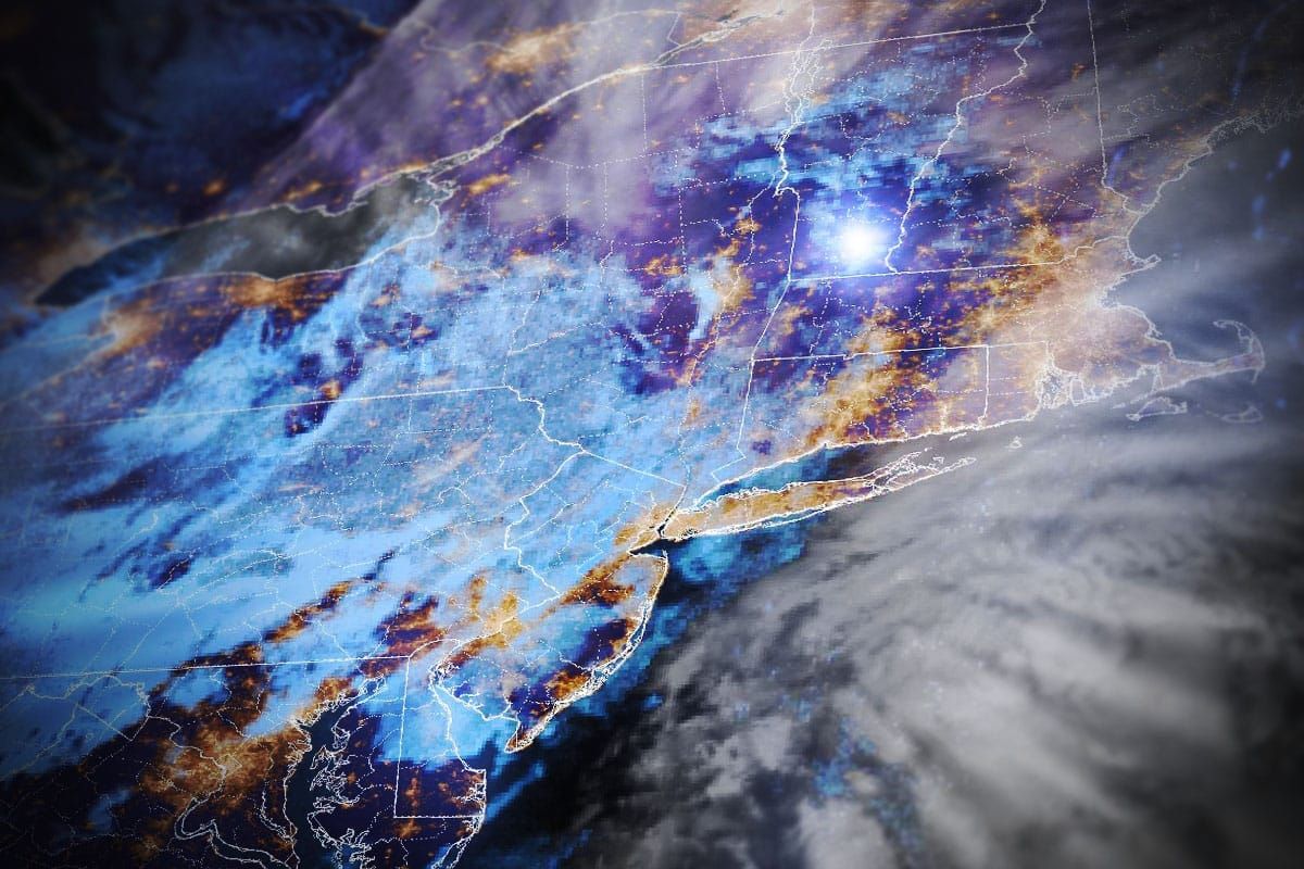
Well, the Saturday portion of this storm is actually ongoing and it will drop up to another 4" across parts of the ADKs, Northern Greens, Northern Whites, and Longfellows through about 5AM. The first tracks should be nice on Sunday! There is some r@!n further south of those areas, but accumulations will be low generally and the effects of icing the terrain up with tonight's refreeze should not be too rough on those slopes.
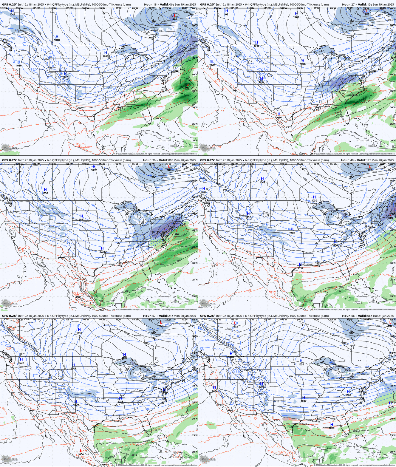
The big story this weekend is the Sunday PM to Monday AM storm of course, and models are finally coming together, though they are still working out some subtle differences. Here's the brodad view from the GFS showing all of Sunday and Monday.

We do have much better model agreement today and there's more confidence in my forecast this time and in fact it hasn't really changed much outside of some decent bumps in the Whites. I'll start off with a Forecast Discussion though in almost entirely plain English as always, then I'll cover the Snowfall Forecast, then the Wind Hold Forecast, and finally the Travel Forecast addressing Sunday Evening.
I believe all of our discount partners in the Snowology Club are offering tickets on Monday, and you've got Catamount, Berkshire East, Stratton, and Magic all should get 6+ inches from this storm, and they won't get as cold as it will get further north as the blast of Arctic air starts to set in across the entire Northeast on Monday.


