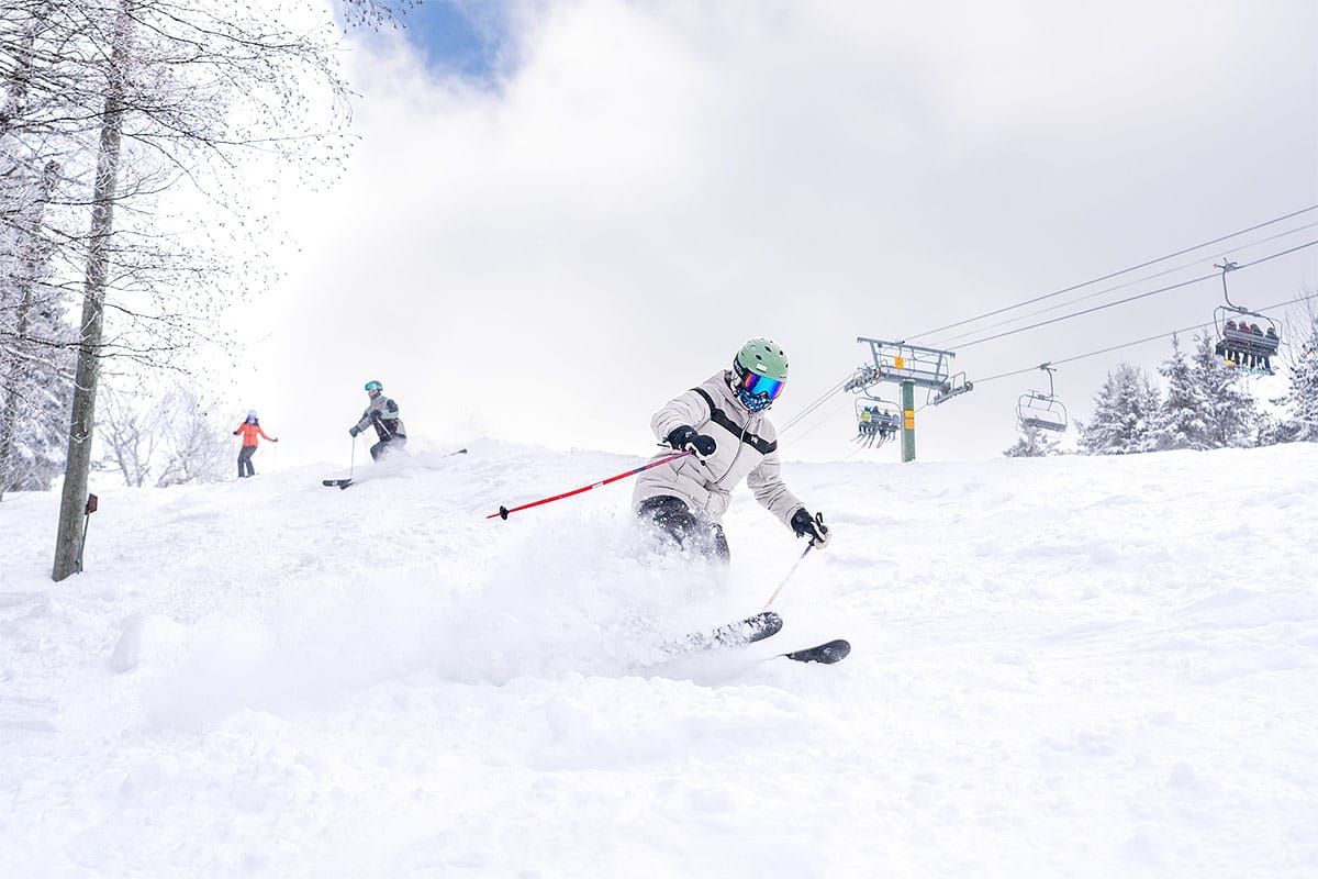
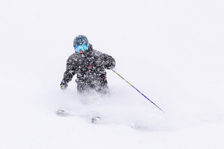
We had a pretty nice refresh yesterday in areas that have been mostly starved for snow but not cold of course, and it happened with substantial terrain and lifts running on a busy holiday weekend. I will say that despite much of the Northeast lacking good natural snowpack outside of parts of PA, NY, and VT, this season has featured only one real washout thus far and I'm generally hearing that traffic is up so far this season by a decent amount over the previous season. Most people don't actually hunt pow, rather they wait for it to come to where they generally go or show up only after it has fallen. I don't mind that though the best way to score pow is to hunt it of course, and there's almost always an opportunity to score freshies including today off of both lakes.
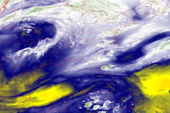
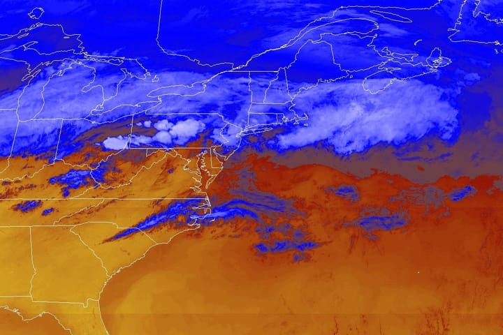
I'm a little late with this outlook due to the holiday the storm, and the lack of notable weather aside from the cold which I do hope we all knew was coming. It's a severe cold outbreak but not extreme. We do have some lake effect ongoing, but this time it is very isolated and while both Dry Hill and Kissing bridge should come in near 2 feet total from this event that started Sunday night, only isolated small accumulations are likely elsewhere at ski areas.
Let's take a look at the GFS through Sunday, and there isn't a whole lot there unless you live in the coastal Southeast.
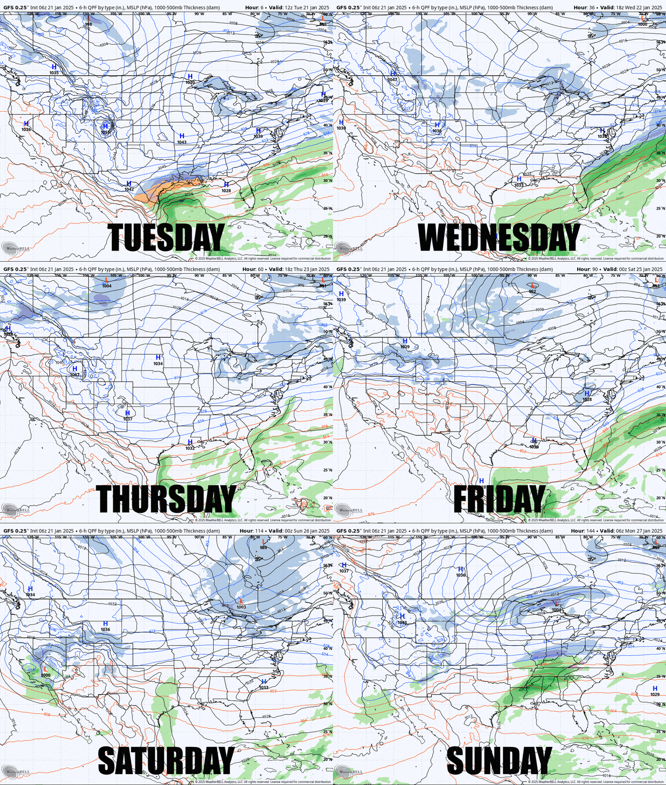
I'm going to change things up a little bit in this outlook and condense it due to the generally inactive weather outside of the cold. I'll start off with a General Outlook, then go over the Temperature Outlook, the Precipitation Outlook, and a brief Extended Range Outlook, but all of this only for subscribers since I along with Luis, Cole, Deane, and now Dave wouldn't still be doing this without their patronage.

