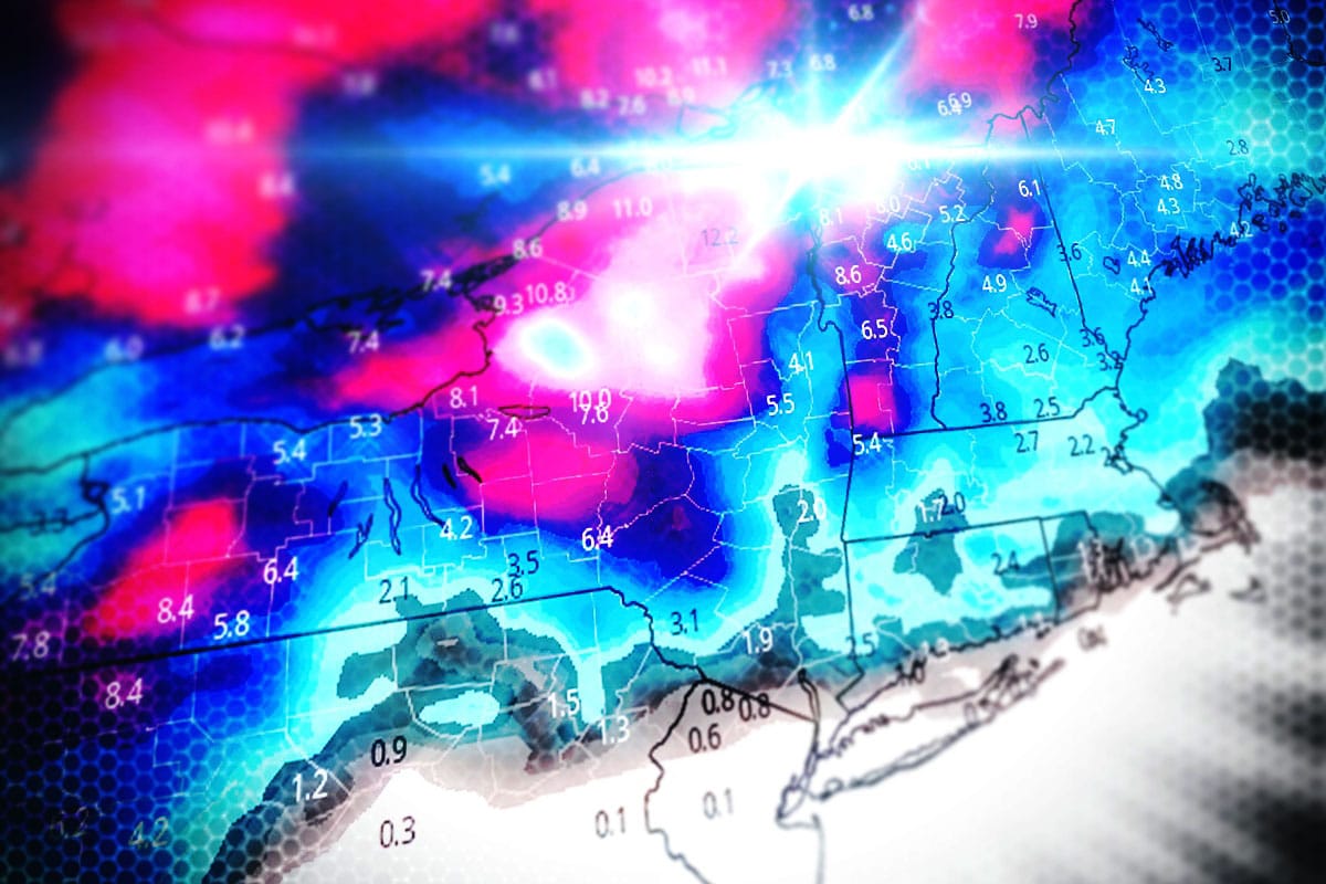
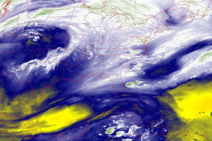
I'm calling this a Storm Update because we're going to see over a foot of snow in some areas, though those amounts will not be widespread but snow will be, and it will be from two different storms in fact.
The first storm is actually the feeder for a strong clipper that tracks through the Hudson Bay that comes in Monday night through Tuesday morning with a shit-ton of wind that ends in a massive squall line after some juice in front of it. The second storm is an even more productive clipper that takes dead aim on the Northeast which comes in late Tuesday night and exits the Northeast Wednesday night. Let's start off by looking at the ECMWF from Monday through Wednesday.
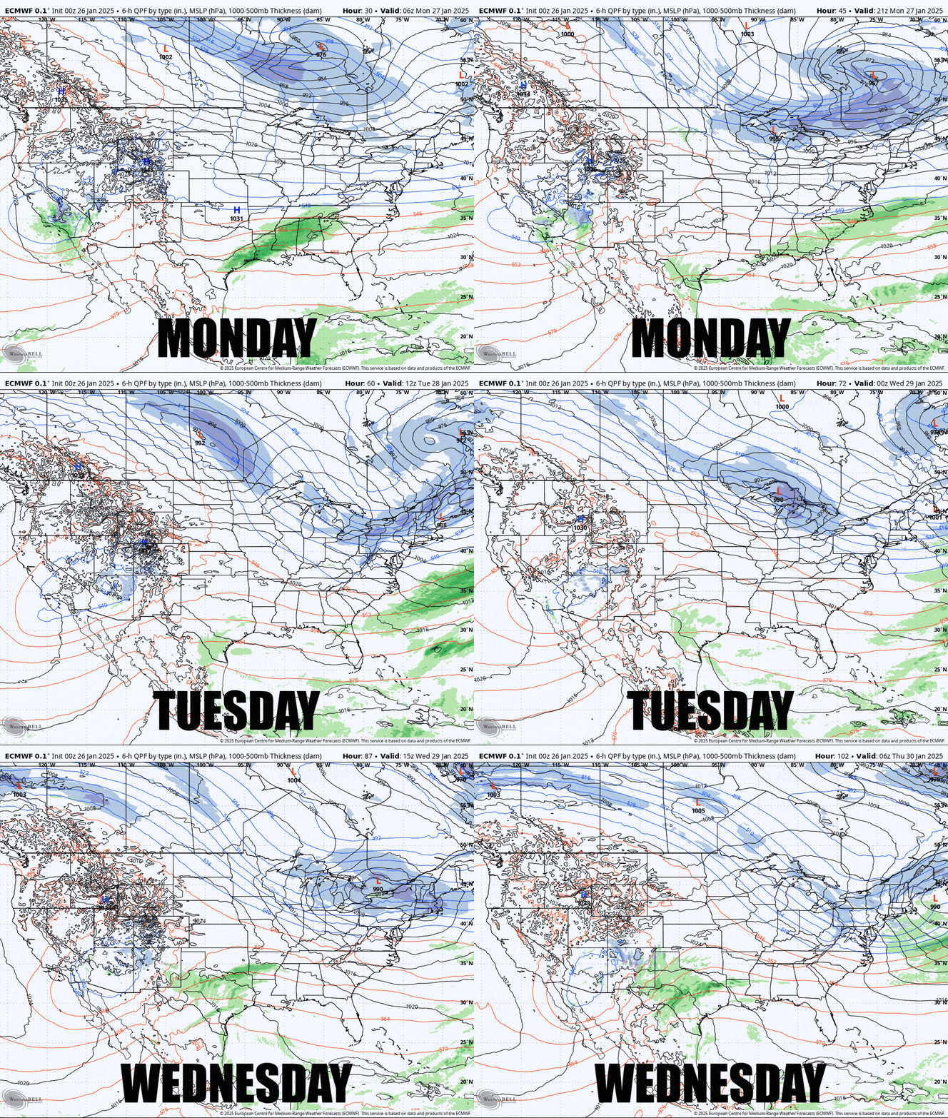
What I am going to do here is first give everyone some recommendations for how to hunt this series of storms and then I will break down the impacts of each of the next two system for both the Snowfall Forecast and Wind Holds. I did send out an email alert this morning updating today's wind hold and snowfall forecast just a couple of hours ago and you can view that here if you missed it.

