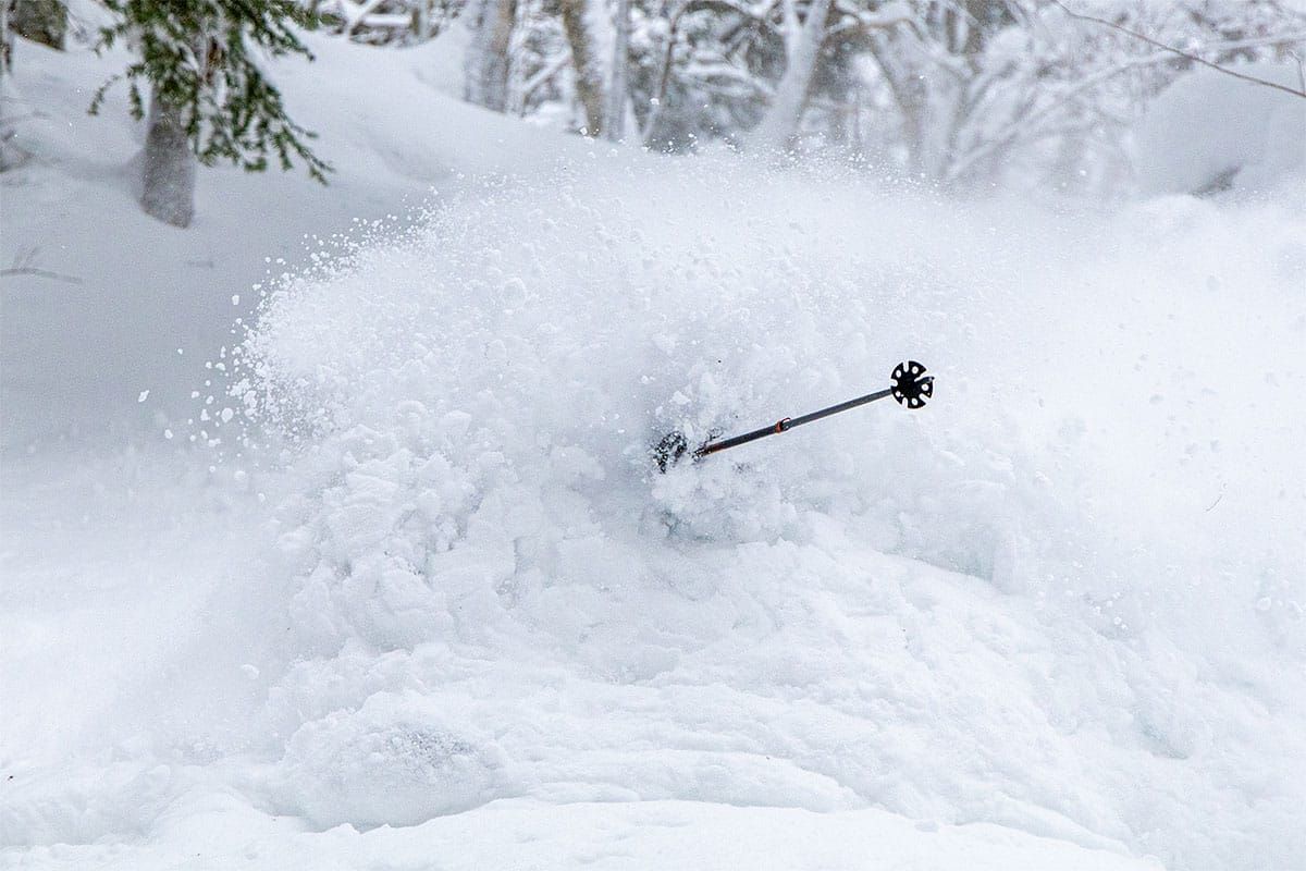
It was an epic week, and while the snow gods once again mostly bestowed their blessings on NY and VT, we did see some snow across MA, NH, and ME as well. Since temperatures in these areas haven't broken freezing in most cases for weeks on end these little refreshes are in fact opening terrain even where we've been in a snow drought. I keep saying that temperatures are the most important part of winter and some others keep claiming it is the pow, but the reality is that 3" of fluff on top of packed power is way better than 8" of blower on top of hardpack (loud pow).
We have a storm coming in Friday night that will be a combination of boom or bust with a tight boundary and likely focused snow to the north and r@!n to the south. Sunday near close is when the next system comes in that will bring snow overnight and then a warming that will mank it somewhat during the Monday ski day. Let's look at the GFS covering the 4 day period to start things rolling.
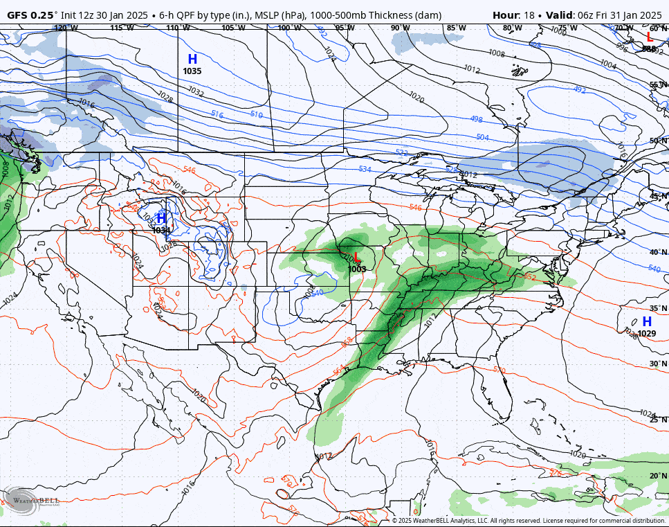
While this is a Storm Update for the Fri-Sat system, this really sets up the weekend so I'm skipping the Weekend Update and focusing on this system. It will all be in one flowy block.
Conditions are going to be fantastic this weekend north of the changeover line, and Snow Ridge, McCauley, Royal, Titus, Whiteface, Gore, and much of Northern Vermont were the big winners, with Snow Ridge on top with 33" of snow reported in 3 days and their Powder Pocket opening on Saturday for the first time since the storm.


