If you thought I might have been confused on some of the dates in Update #1, you are correct. Unfortunately I have to manually process a lot of data and screw up at times, but I'm pretty sure everything is correct this time.
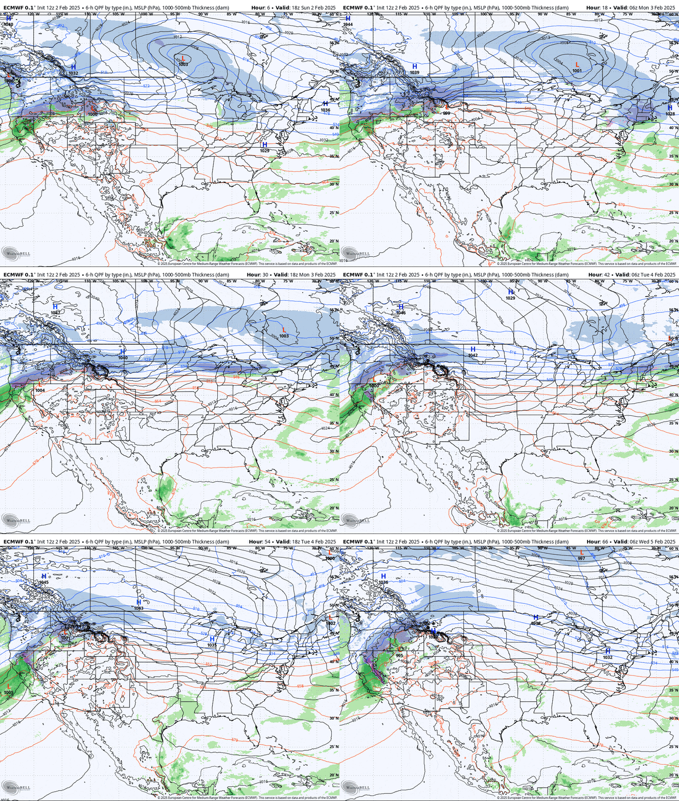
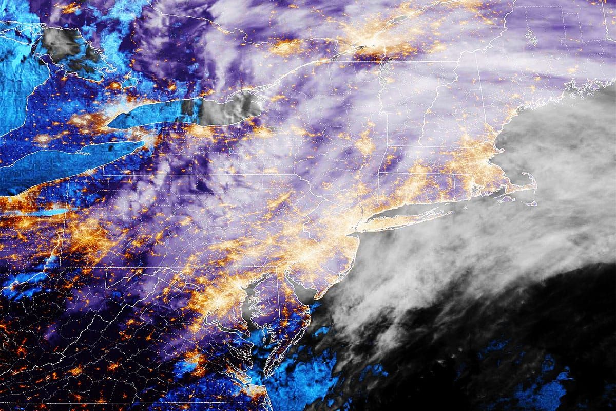
This is a series of 2 storms covered in one update, the first will drop widespread fluffy snow tonight, and the second will will a cold front with some extra juice that moves in a path that is likely to drop focused snow, but may have a little r@!n on the southern edge. Here's a look at the broad view covering Sunday PM through the end of Tuesday.

I'll cover both systems starting with the Sunday PM through Monday AM system, and then the Monday PM through Tuesday AM system where there is also strong potential of wind holds, some may in fact be severe on Tuesday. This will be a pretty quick update.


