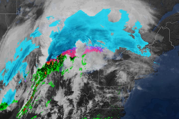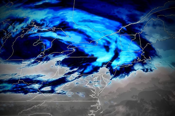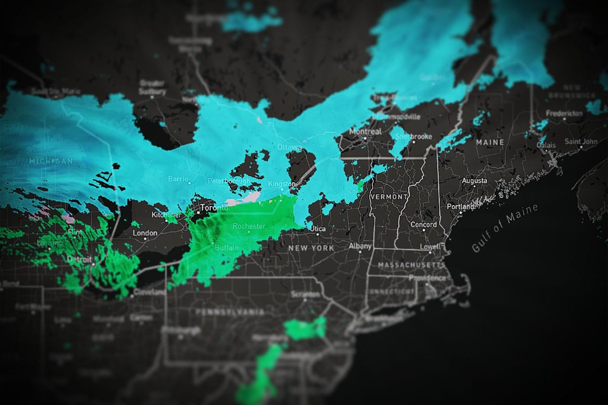
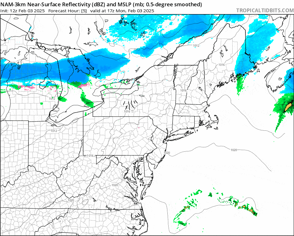
The second round is incoming so let's revisit this storm one last time to focus on the snow, the wind, and where to go if you are out looking for some pow. We'll start out with a 24 hour simulated radar loop from noon today through Noon Tuesday. I'm not timestaming this because the snow primarily occurs at night though we will see some light upsloping snow and lake effect on the back end through tomorrow.
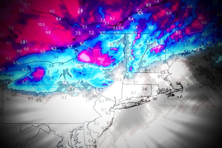
I'm going to jump straight into the Snowfall Forecast and then the Wind Hold Forecast as we've covered the basics already for this storm. It will however definitely deliver for some and it's a sleeper with a focused area of snow that should bring a quiet powder day to those who seek out the goods successfully!
If you are a subscriber don't forget your Snowology Club perks as we've got several ski areas that will be in the thick of it for Thursday including Titus, Whiteface, and Bolton Valley all offering tickets half off their full window rate, and Bolton Valley also has a sweet midweek lodging deal to boot.