
That pesky cold lobe of the tropospheric polar vortex that was keeping us in the cold and mostly dry weather is pulling back this week with the help of an omega block out west this week that will keep us in marginal flow that suppresses those deep digging storms and makes it hard for the Northeast to stay snow with those southerly pushes.
We've got three systems on their way this week including the one just entering the Northeast now that will drop as much as 12" of focused snow on the northern areas followed by systems on Thursday and then another that likely enters Saturday and departs on Sunday, both of which are likely to bring a mix across the Northeast with a fighting chance of the northern half of the region staying all snow. Let's take a gander at the full week from the GFS as of this afternoon.
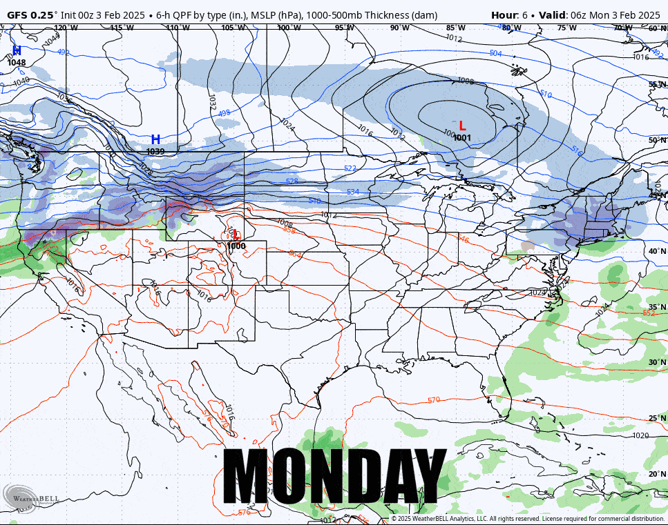
I'm going to focus on the three systems in front of us and give a status update on both of the larger and more impactful storms that will set up this weekend. I'm actually very happy with the way modeling has trended for both, though not everyone wins of course. I will start though with an overview of the temperatures across the week.


