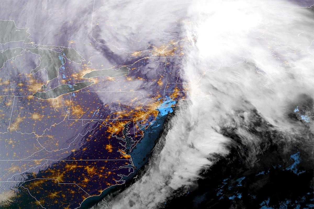
We got a little bit of everything today, but that's the Northeast for you. I generally put our nowcasting coverage on social media instead of bombarding subscribers with too many emails, so check our Facebook and Instagram feeds for that stuff while we generally look ahead in these updates.
The storm looks like it is advanced in timing a little bit so by 7AM some are likely to overperform our forecast through the morning. Overall I think my wind, snow, and precipitation type forecasts did well though you can never tell standing in a single location of course as some things miss both up and down and this of course was a difficult storm with changeovers.
It's not done of course, we do have another 2 full days of back end snow, primarily with a streamer off of Lake Erie and some upsloping into the ADKs, Greens, and Whites, the usual suspects. Here's 48 hours from the NAM3K showing 4PM Sunday through 4PM Tuesday just to kick things off.
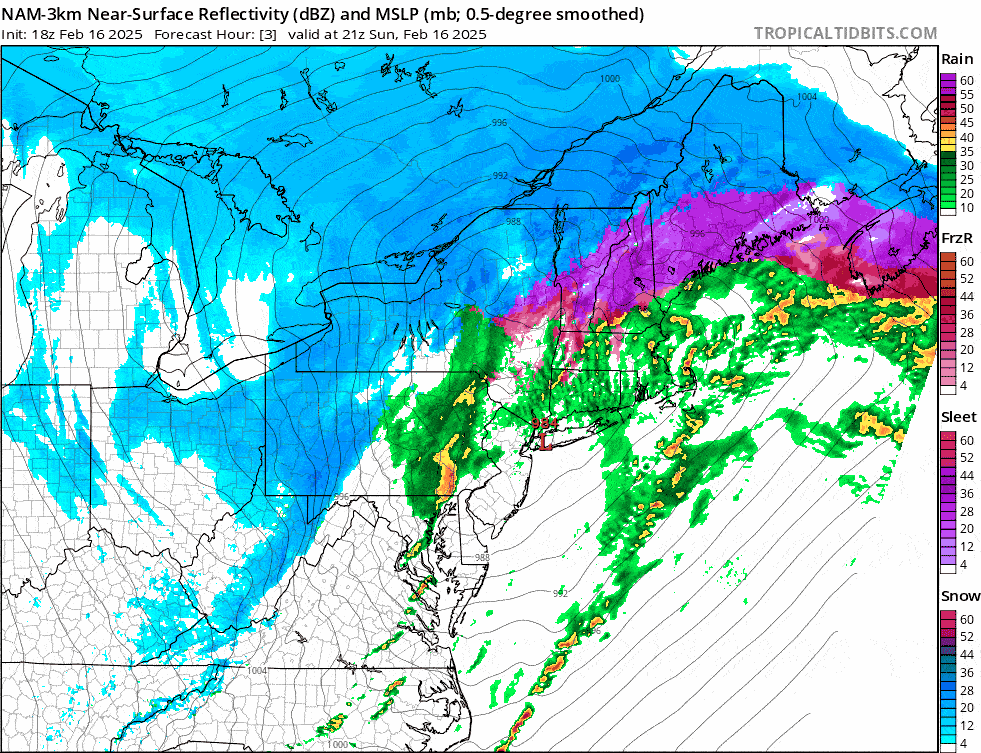
We do have some seriously strong wind over the next two days that will cause many severe holds and closures at ski areas. We also have that back end snow with some winners to hunt if you can dodge the wind. We are also seeing a refreeze with a big plunge in temperatures and those ski areas that rose above freezing today are going to ice up I'm afraid. So while the big storm will be gone tomorrow, the aftereffects are just as important to understand so that you don't end up wasting time and money and becoming frustrated.
I'll cover the Precipitation Forecast, then the Wind Hold Forecast through Tuesday, and also start out by talking about the Conditions Forecast.


