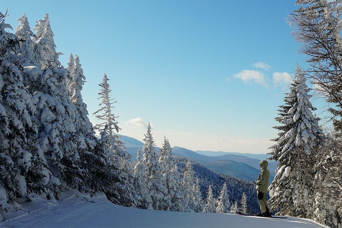
Last season in late February following a rough and almost snowless month and very little natural snowpack I put the word that a pattern change was incoming and about this time a series or nor'easters started turning March into a miracle for the Northeast and extending the season for many. The opposite of that is happening this season. After a great February and deep snowpack that has built in the ADKs, Greens, and Whites it's time to sound the corn horn. Spring is here to stay.
Here's the general pattern for this week as shown in 500 mb pressure anomalies about 18,000' into the mid-level of our atmosphere where the main steering currents are for storms. The "storm track" is really only for the big storms, but there is a bit of chaos over the US in terms of the flows that will send a couple of smaller pieces of energy at us during the week.
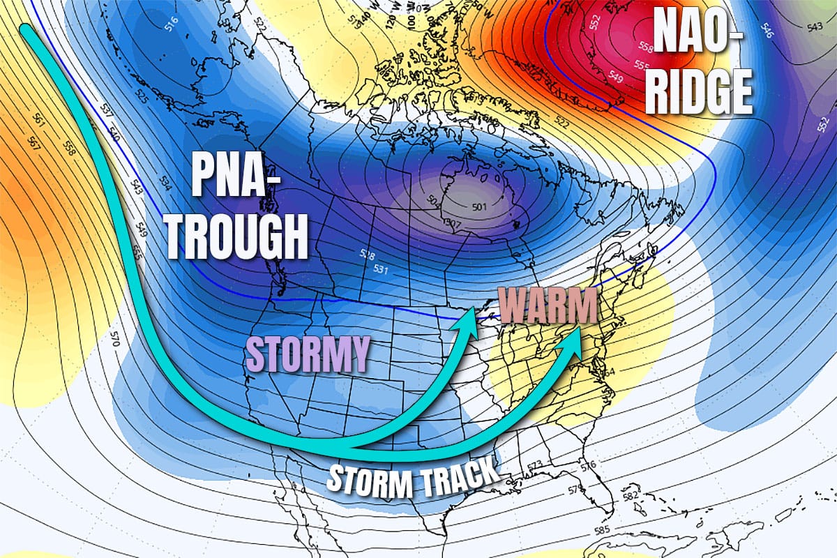
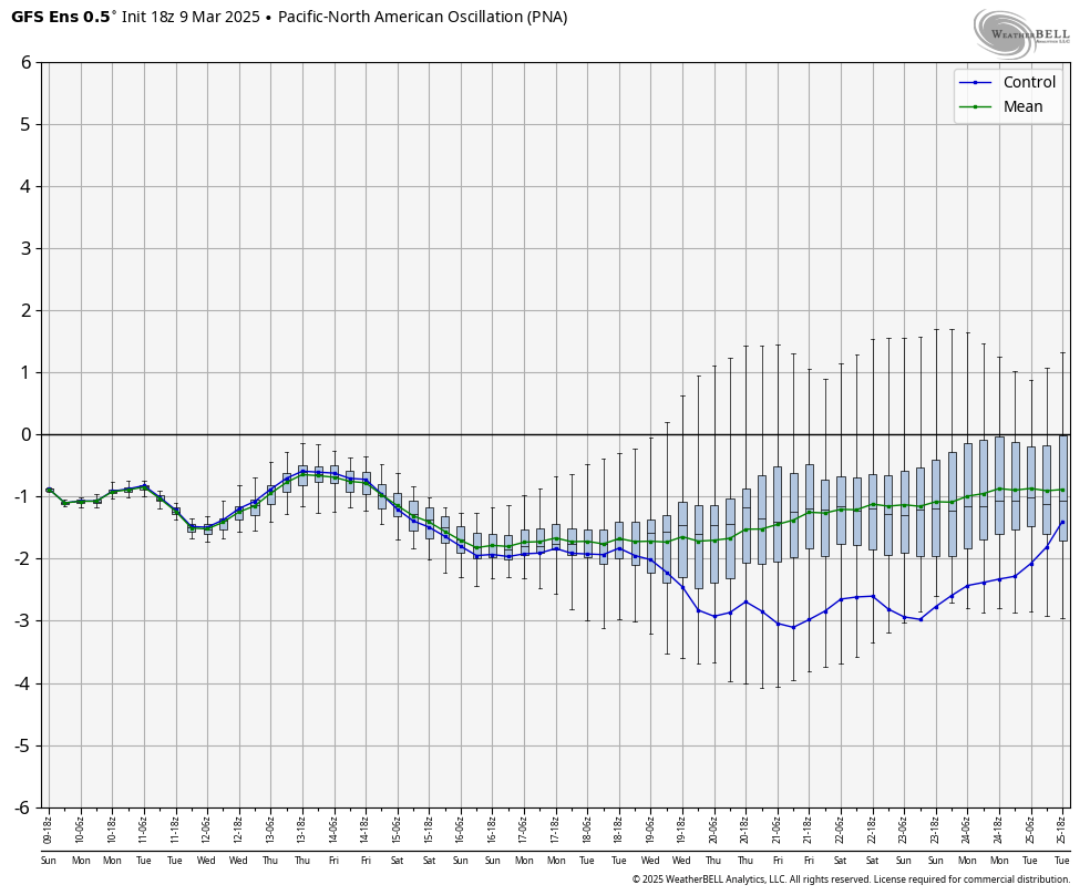
I want to point out the NAO- pattern which is also known as a Greenland Block. There's a lot of inexperienced forecasters point to this as a sign of big storms in the Northeast, but I'm afraid that it is not often determinative. It helps to enhance troughing over the Northeast but the pattern that is way more determinative is the Pacific North American (PNA) teleconnection because it is upstream from the Northeast. PNA basically measures whether there is ridging or troughing in the Gulf of Alaska and in turn that heavily influences whether there is ridging or troughing over the Northeast. After 2 months of persistent ridging over this area and troughing over the Northeast, that has now flipped to troughing over that area or a PNA- pattern and ridging over the Northeast. There isn't a whole lot of support for PNA+ coming back until at least late March, though the GFS Ensembles are pretty much saying "screw that, I'm out of here."
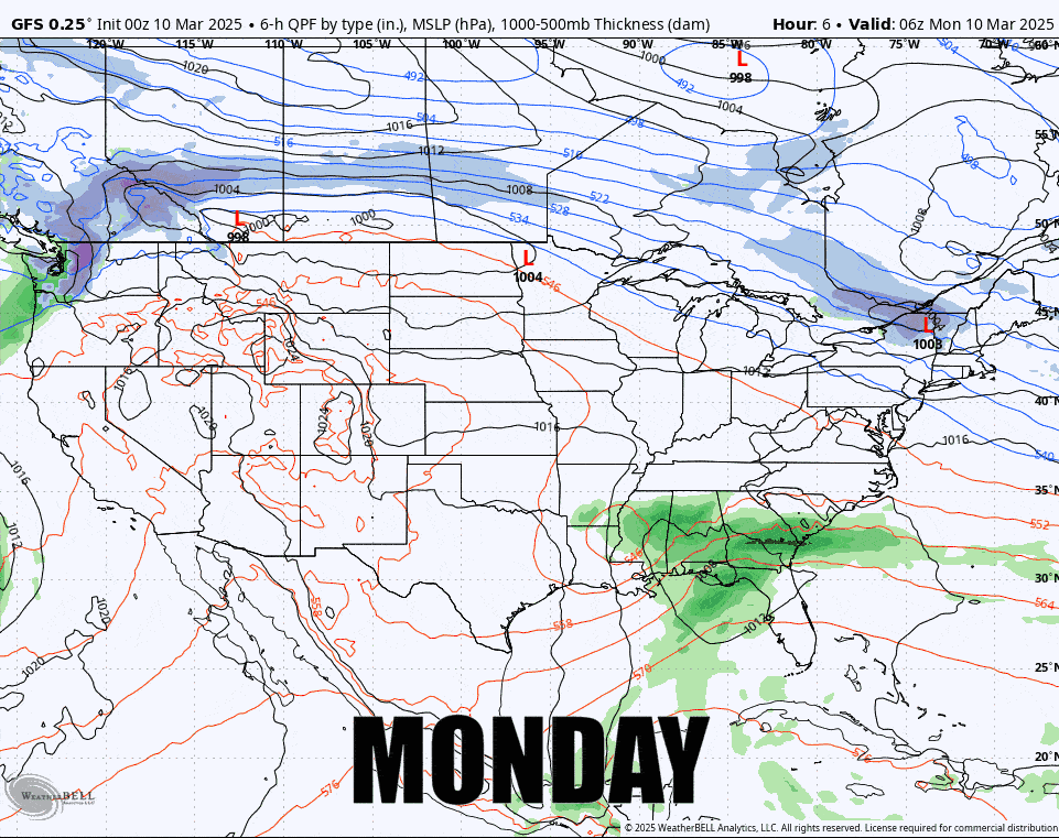
While we can still get big snowstorms in the Northeast during this pattern, it is much less likely and it certainly isn't going to happen this week, and we will torch a bit at the end of the week I'm afraid. If you've been eyeing the West though, now's the time, and it's going to be hard to miss storms for at least the next two weeks. Here's the latest GFS loop showing the Monday through Sunday.
The good news I guess is that we will see very little in terms of r@!n until at least Saturday in parts and there will be some snow during the week, but by Sunday it's highly likely we'll have issues with wind, r@!n, and warm temps. It's just a 2 day torch though before everyone refreezes on Monday.
I'm going to cover Tuesday through Sunday one day at a time in Daily Outlooks where I'll cover temps, precipitation, and wind to help you plan your week. Monday has already been covered in a Minor System Update.


