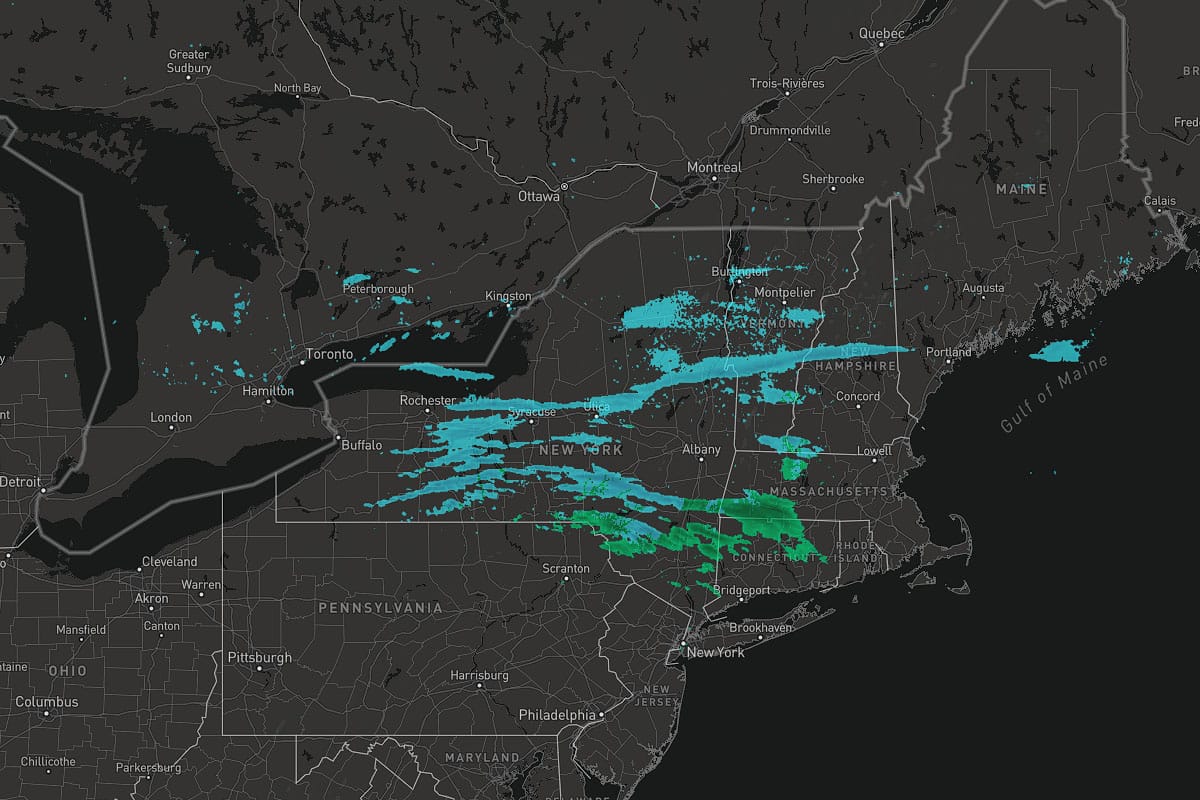
Modeling has continued to struggle with a pretty unique setup causing convergence in the region that I honestly still don't know exactly where and how much snow will result. The feature image above is the live composite radar as of 6:45PM on Wednesday and the following is a 12 hour loop of the NAM3K simulated radar from 6PM today through 6AM on Thursday.
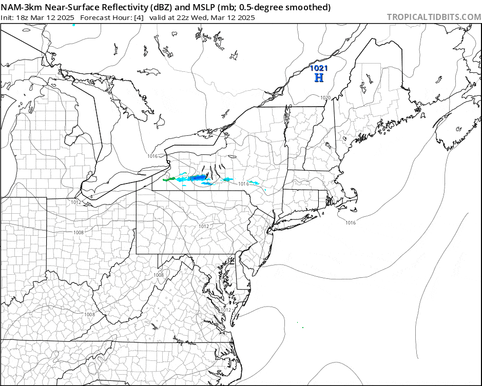
Different models handle different types of fluid dynamics differently (our atmosphere is technically a fluid). Clearly the NAM3K is still out of sync with what is actually falling from the ski right now but this is much more enhanced than the flurries modeled last night. The GFS has seen this for 3 days however and is the only model that has handled this well, but it is still the type of event that modeling won't be able to pinpoint accurately.
I'm going to cover what I expect and then give a very brief update about the timing of r@!n and wind this weekend with the approaching storm. There will be a full weekend update out by early Thursday evening.