
I indicated earlier that I don't think we'll have a good idea about where the snow will be focused and how much will fall. That is at least true today, but honestly we may not know Wednesday either, but it will snow and it may qualify for a full storm or it may not and there will be wind holds on both Thursday and Friday and so I'm issuing a Minor Storm Update.
The issue is that the storm is forming on a low level jet at the leading edge of a trough and there is energy both to the NNW and to the south of where this storm will be and storms are weakened by these other pieces of energy as it obstructs flow and makes the circulation less tight. Models are still having issues sorting out the degree of dominance of the main storm and the energy south rounding the trough and in recent runs some have seen the storm pulling south for a bit after it forms near NYC which is atypical. This 500 mb vorticity map from the GFS shows the two loops of energy with our storm being the one inside of the loop.
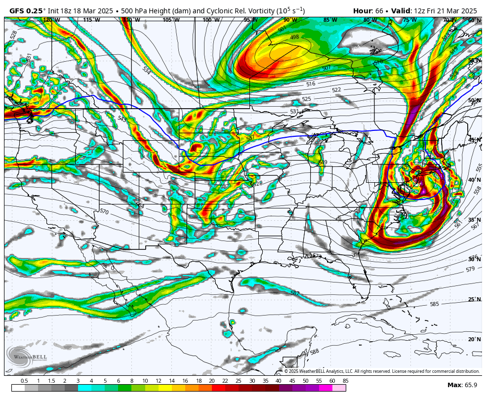
The 500 mb pressures also show this energy close to being cut off from the trough and that also means less energy available to the storm than a nice wedge shaped trough might produce.
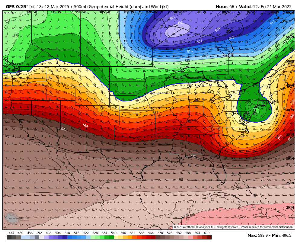
All three major medium range models are in general agreement from the bird's eye view, but it's the small differences that will determine how intense the storm will be and you can't really guess accurately from 3 days away. Here's the broad view from the latest run of the GFS covering 8AM Thursday through 8AM Saturday.
I'll cover for subscribers the current variability in snowfall in modeling in the Snowfall Forecast and then forecasts for both Thursday and Friday wind holds in the Wind Hold Forecast.


