Both major medium range models are shifting the focus easy and generally weakening it, though there is still almost zero agreement on the dynamics related to where and how much snow will fall with this system across pretty much all modeling though for cyclogenesis the medium range models are typically more skilled and the GFS and ECMWF are still not in rough agreement on this but I expect that to happen by Thursday.
Let's take a look at the 12z GFS showing 8AM Thursday through 8AM Saturday zoomed into the Northeast to start this off.
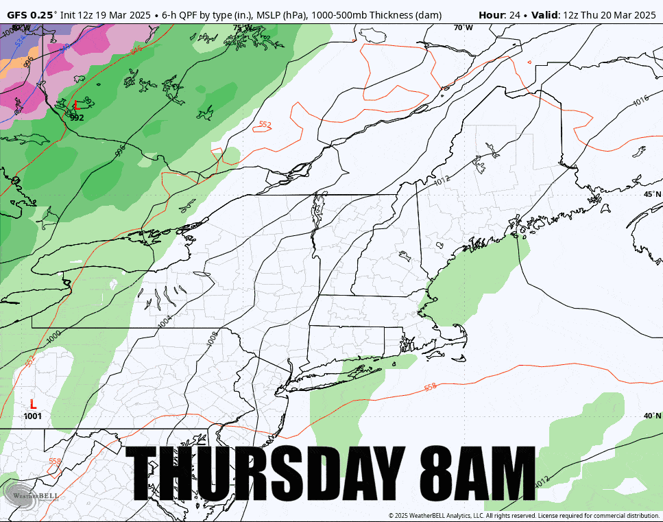
I want to make it clear first that the 18z run of the GFS shifted east and is less amped, but the 6z and 18z runs are fed less live data and it seems to be less reliable generally than the 0z and 12z runs. I don't want to exclude the possibility of the general GFS solution suddenly disappearing because it needs more confirmation. Secondly, the ECMWF has been generally weak consistently and focused more on NH and ME, and also generally below 6". It could be correct. Often times when we are 36 hours away and there is notable disagreement models drift towards the middle rather than heavily to one side, though that happens too sometimes. Lastly, the storm has sped up from previously modeling and most of the snow will have fallen by 4PM on Friday even in the Longfellows of Maine.
Regardless of all of this, I have updated snowfall map trends to share in the Snowfall Forecast, but I'm not making a forecast because I would be guessing too much and I think in that case the snowfall maps showing the spread is a better way to communicate the variability. There is also some wind on Thursday and Friday to contend with and I've updated the Wind Hold Forecast for both days. The final update on what I still consider a "minor storm" will be either early afternoon Thursday or the evening depending on if or when I think there is consensus. I'm not sure this is worthy of hunting, but it's useful to know if you are headed out regardless.


