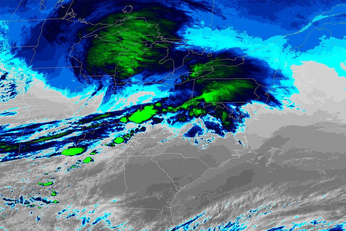
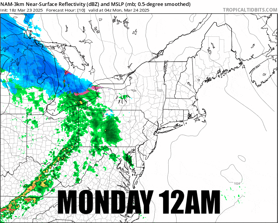
We have a weak system, a clipper that turns into a triple point low, that will impact the Northeast on Monday bringing up to 6" of snow by the end of the ski day on Monday along with a little wind and a little ice also. Here's the simulated radar covering midnight through 4PM on Monday.
While this storm isn't prolific, by Tuesday morning we should see many parts of the Whites and Longfellows reach over 6" of snow while the back end of this storm will kick in that will bring days of upsloping moisture and shortwaves to the northern areas that could result in a great recovery for some by the weekend. I'll cover that in more detail in The Week Ahead which will be published Monday morning.
Through 4PM on Monday I'll cover the snowfall and other precipitation, the temperatures, and the wind hold forecast for subscribers.


