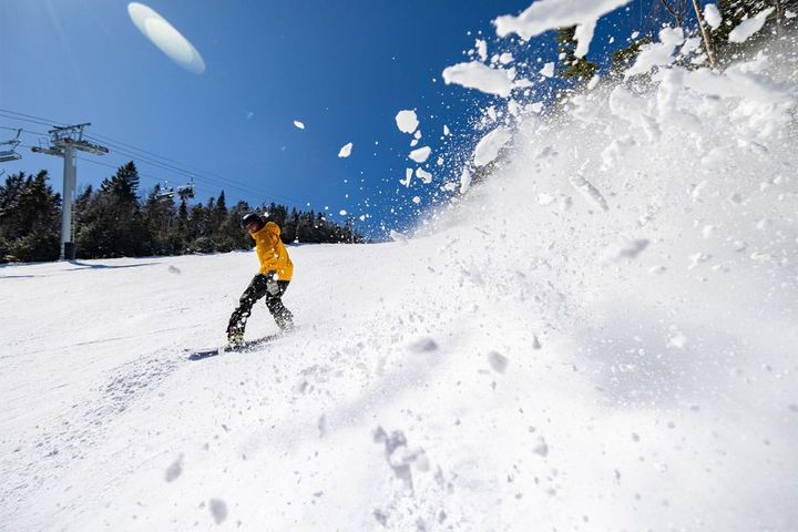
This may be the most wintery week of March for the northern areas as northwest flow comes back and stays until Sunday bringing with it moisture and waves that I believe are likely to drop well over a foot in some areas, but in smaller amounts from day to day.
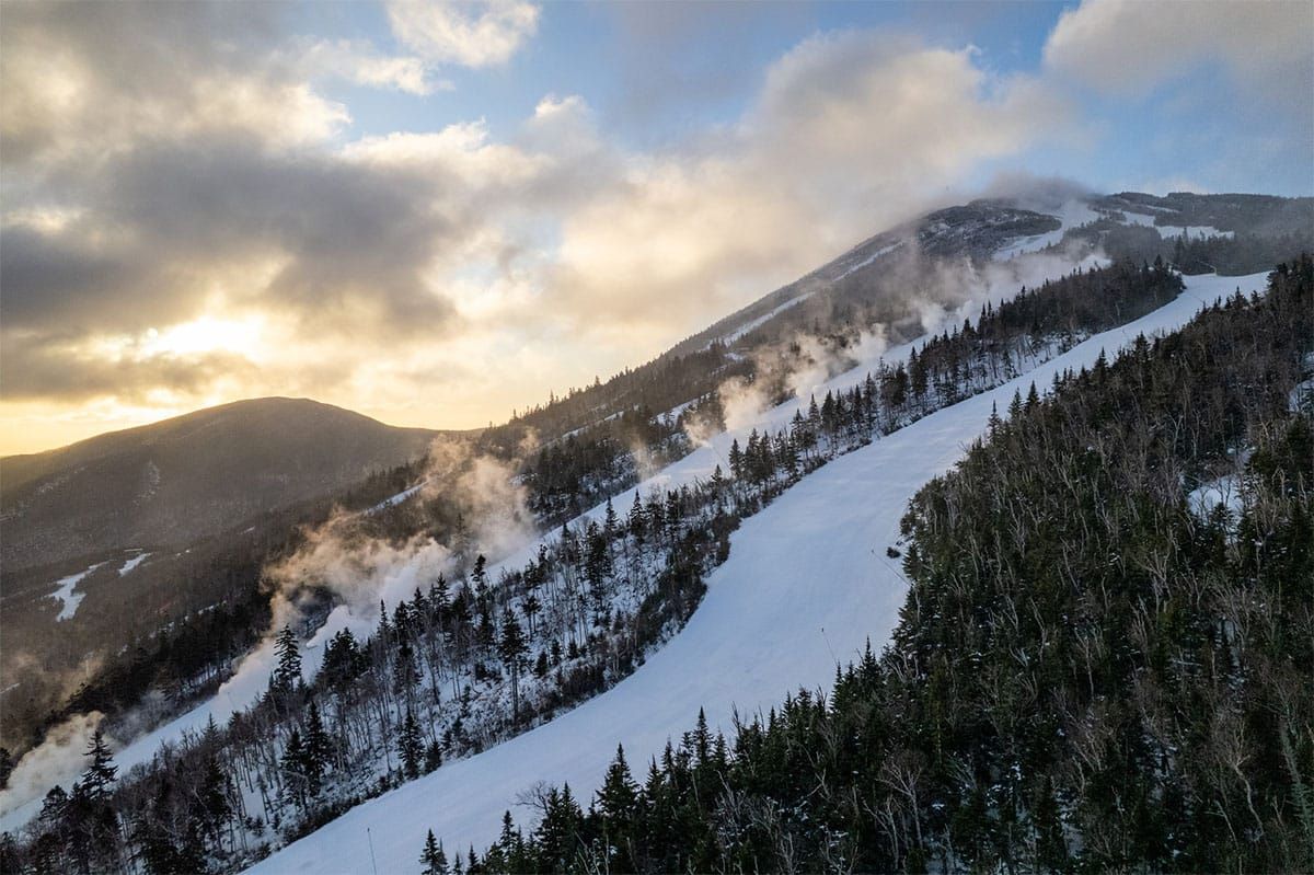
Let's start with our Operating Status Tracker for this week. Note that some of those with midweek closures will be as little as one or two days or in other cases all weekdays. Given the date we're about average to a little above average for this time of season on both operations and terrain availability.
And then let's jump into the wide view of the weather, this time featuring the ECMWF through Sunday.
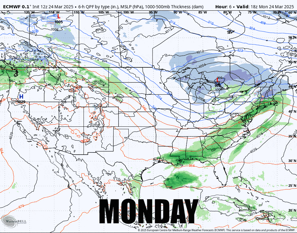
As always, the further we go out the more variability you should expect. What happens on Saturday is wide open in modeling. It could be nothing, it could be huntable snow, and it could push that boundary further north. On Sunday that boundary likely gets pushed into Canada and with that some mixing down to r@!n. So Saturday will again likely be the best day of the weekend for many though some shifts in timing could save Sunday for at least some more towards the north and northeast, but midweek holds a lot of great opportunity to both score some pow and some spring turns on corn with great temperature cycling that should preserve most of the snow at open ski areas in the Catskills and north of the Albany, NY latitude.
I'm going to break down this week into a Back End Event covering Tuesday through Friday, then I'll cover the Weekend Preview.
I'm sorry for being so late this evening with this update. I had to deal with a matter this evening that interrupted this update.