Well, there's opportunity for some, but the drive on Saturday will be dangerous for many, both in the morning and the evening.
I do want to stress that driving is always your call, and my guidance may be inaccurate given that modeling is never perfect and varies from model to model, and my opinions or even words may also be inaccurate, and of course, I don't know you nor your car's capabilities (like snow tires). We deal with a lot of winter weather all season and I would encourage everyone to stay within their own comfort level at all times, and maybe decrease your tolerance rather than increasing it. I also encourage everyone to have great snow tires because nothing matters more than them that is within your control.
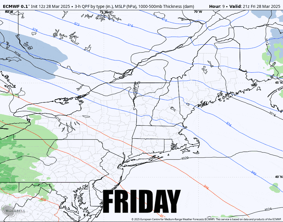
With that said, yes, we're getting a big ice storm that will last in parts of the Northeast and Quebec through Monday. We're also getting a focused area of snow which in some cases falls on top of a really nice refill this week, and if you aim right, and if my forecast is accurate, Saturday should be great, though the safest way to get to these areas from the south will be to leave Friday evening.
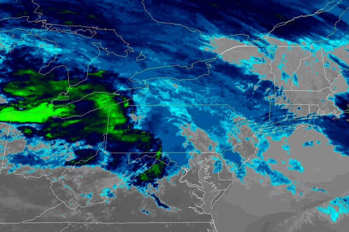
With that, let's jump into the Northeast view covering 5PM Friday through 5PM on Monday to start with a loop of the 6-hour precipitation intensity from the ECMWF.
I'm going to cover just Saturday and Sunday for subscribers in this update. Monday there is a chance of a dry slot and spring conditions, but I don't feel we have enough confidence yet to share where that may be more precisely.


