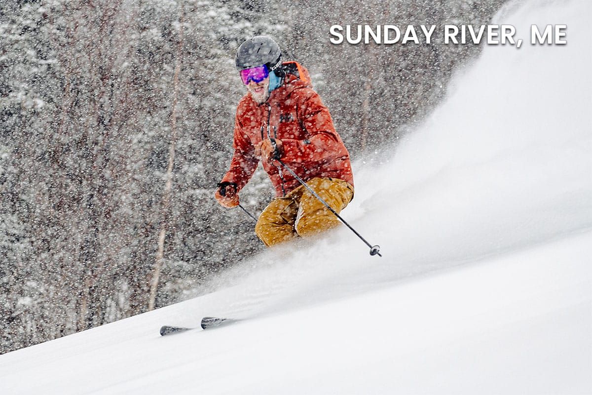
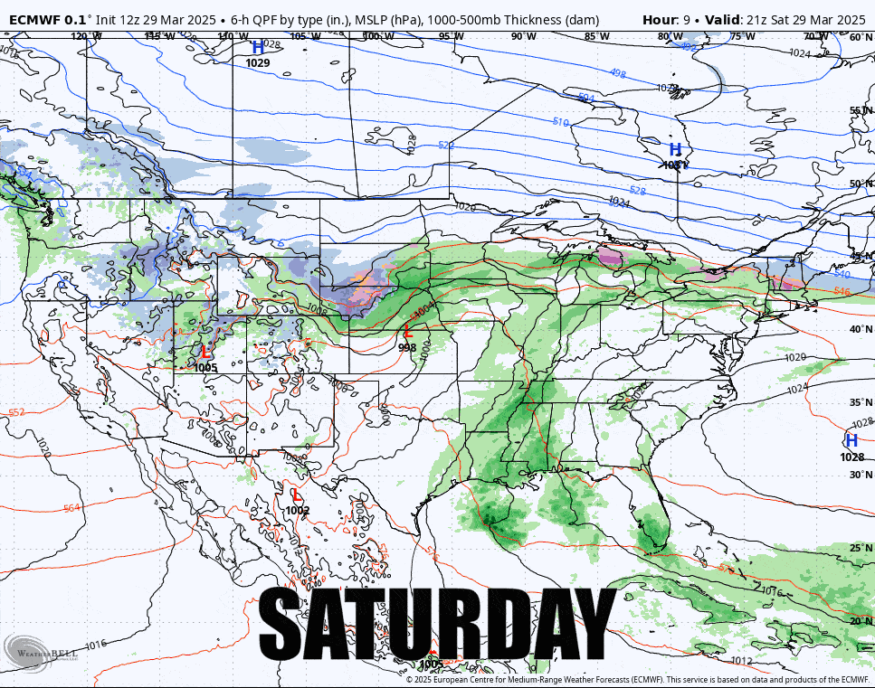
We did pretty good by our final update last night with the nudge south, and that was just enough to bring pow days (+6") to about another 10 ski areas. Hope you got some today because the pow is over early this evening and the r@!n, freezing r@!n, and sleet are all that is left through Monday, but there will be some dry areas with spring skiing and riding, and the sleet skis just great though there are just 9 open ski areas that fit into this category. We'll start with the broad view showing 5PM Saturday through 5PM Monday from the ECMWF.
I'm going to break the update down again daily into the Sunday Outlook and the Monday Outlook for subscribers. On Sunday you'll want to mainly avoid the freezing r@!n plus a little bit of the unfrozen type, and on Monday we warm up but there are going to be windows of opportunity to be had at many open ski areas but there are also some isolated wind hold concerns.


