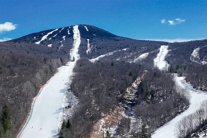
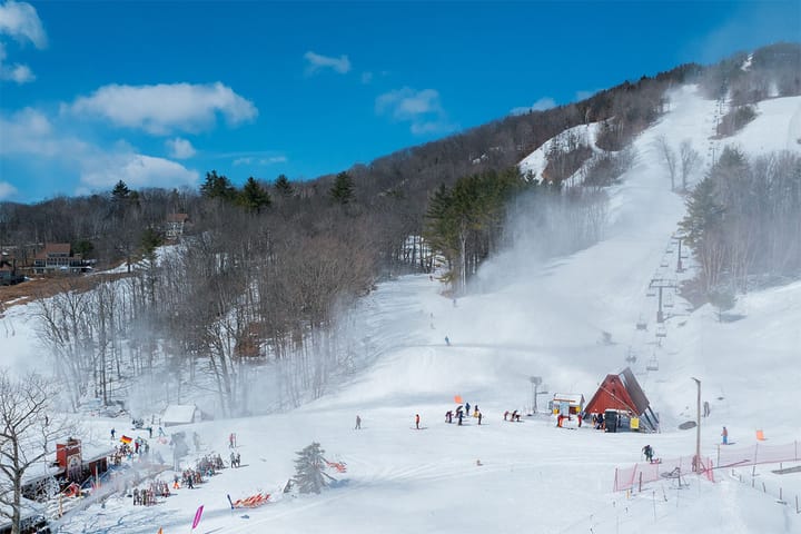
We probably don't need to rehash what happened in the last two days, but take note that several ski areas have already announced sitting out planned operations both Monday and Tuesday so before you go check those snow reports!!!
We have a surge of warm air and r@!n that will pass through the Northeast on Monday and then a refreeze on Tuesday, and we have some wind issues also on both days to contend with that will be covered. Starting off of course is the broad view from the ECMWF covering from 5PM Sunday through 5PM on Tuesday.
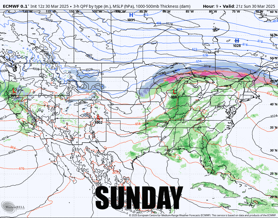
I'm going to break down both Monday and Tuesday for the three key factors; precipitation, temperatures, and wind. There will be some good skiing and riding to be had on both days, but definitely also some things to avoid.
I'll be covering the full week ahead on Monday covering the outlook through the weekend.