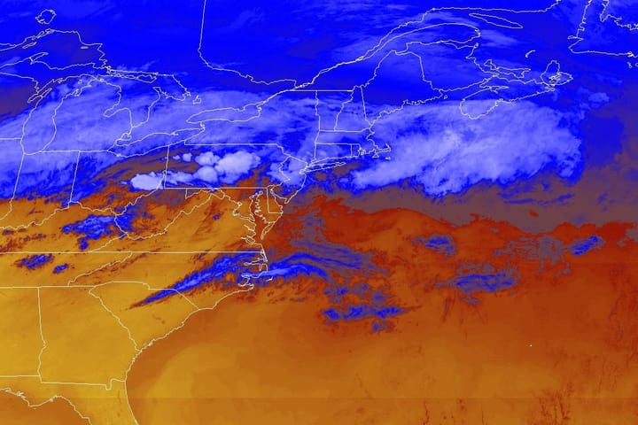
After this current back end event we're going to see a warm up and yet again another area of r@!n that will snake through the Northeast over the course of 3 days. Nothing heavy and maybe you can dodge it by picking the right spot. It's still a little early of course to nail down exactly where things will be precipitating and when which is why this is just a "preview" into the weekend.
Here's the broad view from the latest GFS showing Friday through Sunday with 6-hour precipitation intensity (which will make it look more r@!ny than it really is).
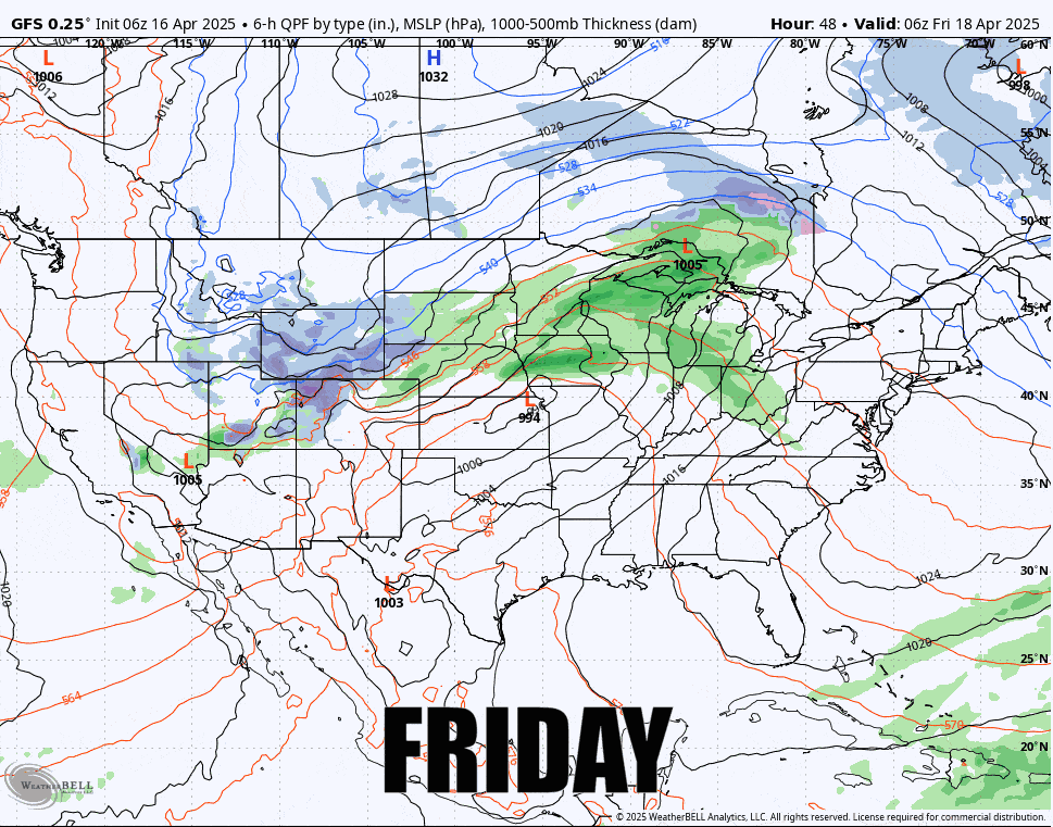
I'll cover what modeling is currently seeing for all three days but this don't try to pinpoint the passage of fronts and r@!n at this distance because that will surely change.