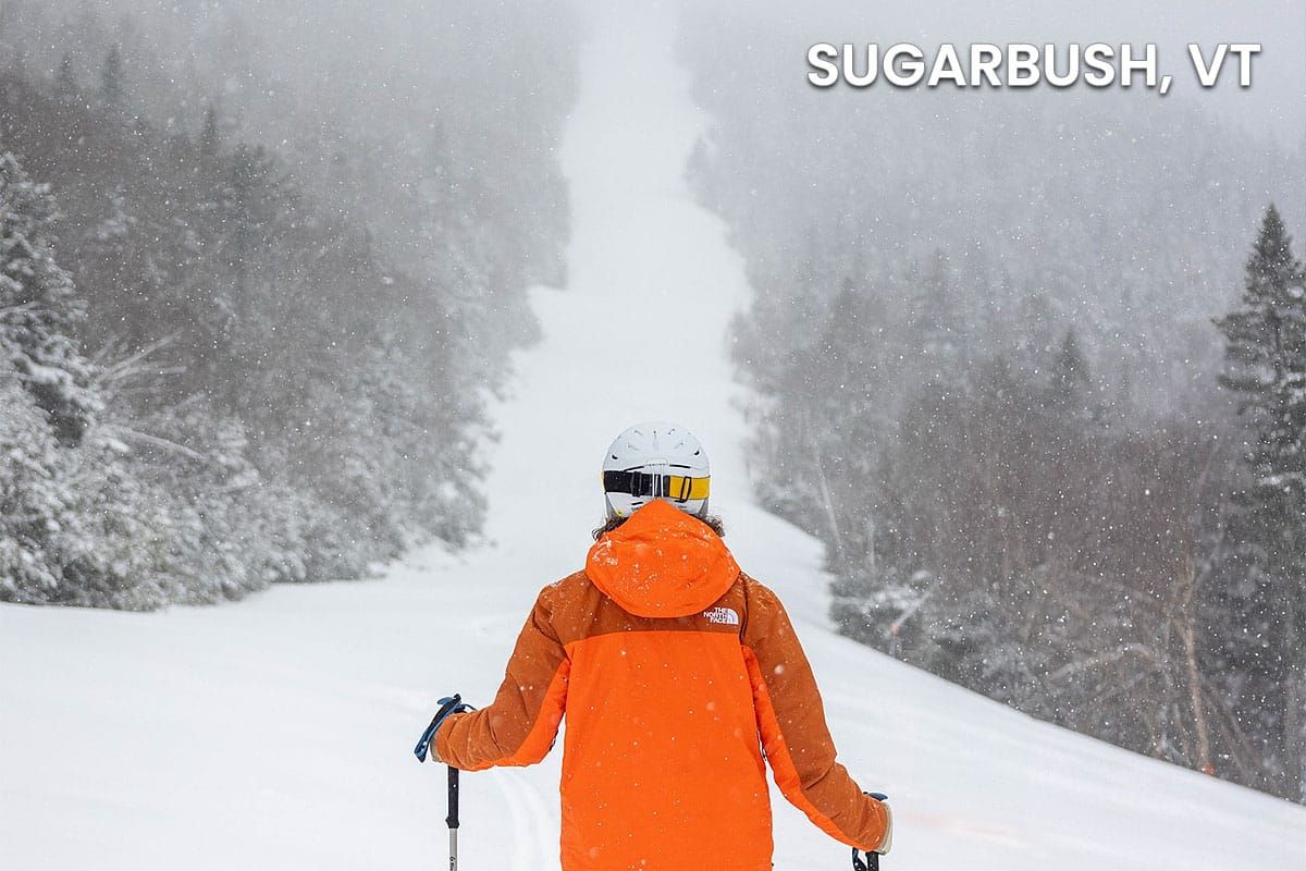
That may have been all Mother Nature wrote for pow days this season, but we're likely going to take a hard swing into warm temps and corn this weekend and generally from here on out. While March definitely impacted snowpack a great deal, the more recent shift into cooler than average temperatures and seasonally dry weather along with some snowfall in northern areas has actually left some ski areas in better condition than they were at the beginning of the month and that I believe means that everyone will hit their targeted closing dates if not extended them.
The real warm-up starts on Friday, then we have a little r@!n to contend with on Saturday with temps hitting near 60F at the bases but the bigger issue is going to be strong southwesterly wind, and on Sunday while we may be almost entirely dry and cool down a bit, we are going to have another windy day from the northwest. It's not the r@!n that you should be worried about this weekend, that won't be a huge factor, rather it will be the wind and you need to hunt around that. I'll dig more into those details for subscribers, but we'll start off with the broad view to set things up.
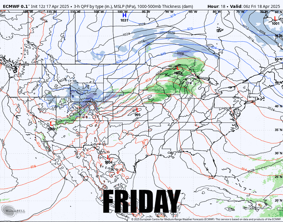
I'll break down the weekend outlook day by day covering all of the important aspects including precipitation, temps, and of course wind.


