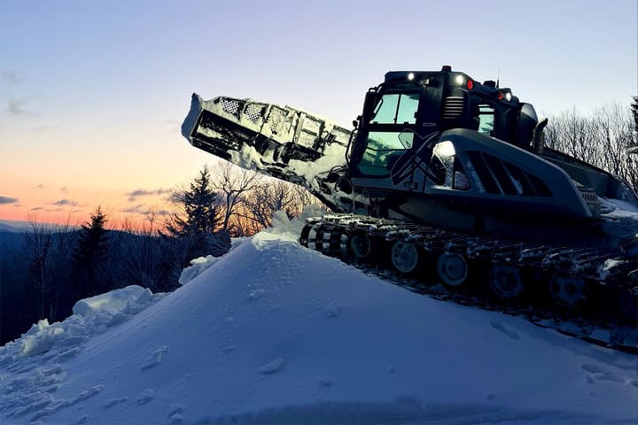
We recently integrated two nice improvements to the radar maps and the resort navigation maps as we continue to refine both our data and how our website works by adding new features on almost a daily basis.
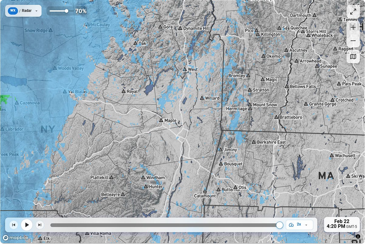
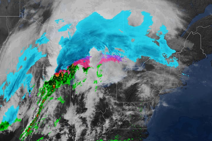
First off, our radar maps under the Maps section of our site now displays icons for every ski area in the Northeast once you zoom in. At first just icons will appear and then the names will too as you zoom a little closer. This obviously will help many who are unsure of the exact location of their favorite resorts on the map in relation to active weather.
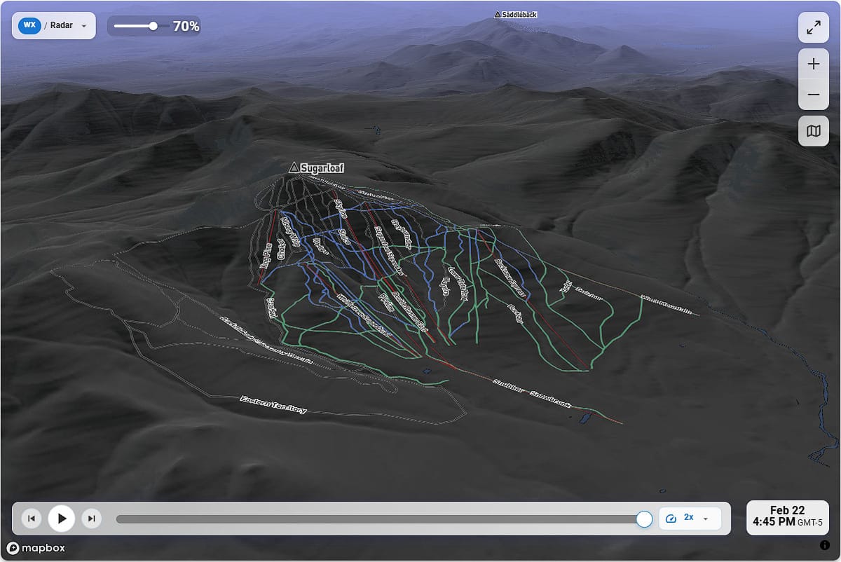
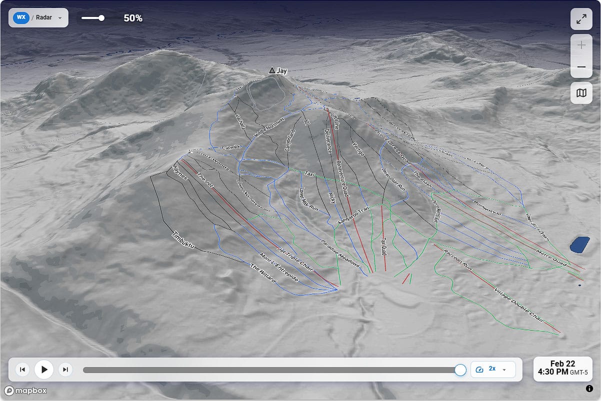
Secondly, when in either the Maps or the Weather section and you zoom in far enough the lifts and trails for every ski area will appear. This will help you get your bearings and having the map overlaid on the terrain is also improves your understanding of each mountain.
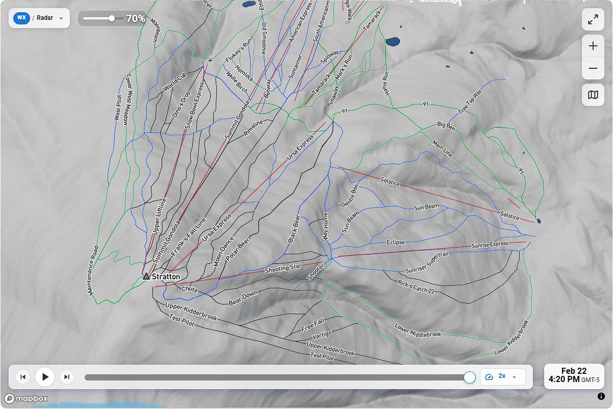
Lastly, our dynamic maps are actually 3D so from a desktop by holding down Ctrl and then clicking and holding your left mouse button you can change your perspective. When using a mobile device you have to press on the map with two fingers at once and then move your fingers together in the same direction to change your angle of view, or in a circular motion to spin the map. When using mobile you might want to expand to full screen using the icon in the upper left hand side (also available on desktop but less necessary).
If you want to give it a try, just visit our site and give it a whirl!

Comments ()