
The Ice Coast kind of kicked us in the butt the last three days, but the last of the wind departs mostly overnight with just a few issues expected at open on Monday at Mount Snow, Stratton, Bromley, Wildcat, and Sunday River, but the risk should mostly clear between 10AM and Noon with Wildcat probably the last of the group. Any extended holds probably would not related to the wind but the timing and traffic and not limiting to terrain. Forecasting operational decisions beyond the wind is of course difficult.
The good news however is that we have what we're calling a "Minor Storm" coming in starting Monday night that will slowly drift to the northeast across the region to turn the browns of stick season back into a more Christmasy scene. We do expect some ski areas to break 6" in this storm, though generally spread over 2 days, but that will soften the natural terrain and add to the surface that the groomers have been stirring up since Friday night.
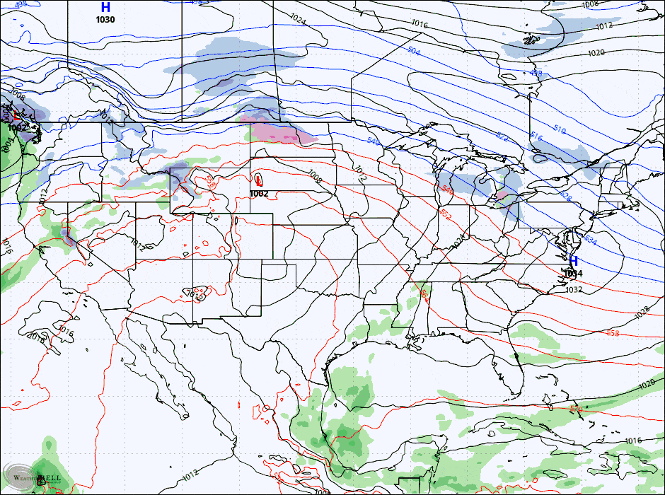
Here's a loop of 6-hour precipitation intensity from the GFS covering from 4PM Monday through 4PM on Wednesday to set this up.
I'll cover Snowfall Forecast and the Wind Hold Forecast for subscribers, though wind will not be a large issue if at all. I am hopeful though that this might drop some ropes on some natural terrain.
There will also be a Week Ahead post on Monday morning covering notable weather through Sunday of this holiday week. We do have a system coming in Friday that likely brings a mixed bag to the region with some trouble but some good snow is also presently being modeled for many as well!


