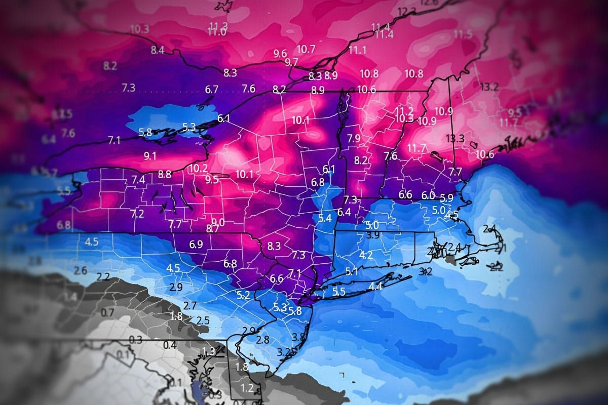
We have active weather in front of us beyond the current storm that is currently impacting the Northeast. Here's the rundown through early next week along with expectations for when coverage starts. We will be issuing at least one update every day through Monday and sometimes two.
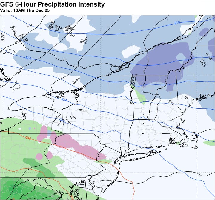
Thursday: Light Event
On Thursday we will see accumulations of probably up to 6" on some taller northern peaks and possibly some light r@!n and ice in the Mid Atlantic. This will be covered as a Light Event starting on Wednesday.
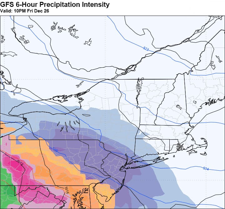
Fri PM - Sat AM: Mixed Precip with Significant Icing
Friday night we have a mixed bag coming in. It's not a very strong storm but accumulations of up to 10" of snow, 3" of sleet, and 0.5" of ice are likely in some places though not widespread due to the type of storm this is. Significant travel disruptions are expected, especially in Pennsylvania. Storm updates for this system will start on Wednesday.
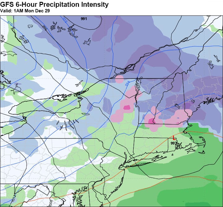
Sun PM - Wed AM: Mixed Storm with Significant Back End
Sunday evening a disorganized storm comes in but behind it could be the start of a significant back end event that could last through Wednesday morning with high winds and plenty of lake effect and upsloping behind this storm. This comes in as a mixed bag on the front end with up to 6" of snow likely in some spots, mainly in the northern half of the Northeast, but the back end has potential of up to 2 feet under some bands and upsloping but wind holds will also be likely along with some chilly temps. The "up to 2 feet statement is conservative" if the back end confirms. Storm updates are likely to start on Friday.
Powder to the People!
-- Matthew Scott


Comments ()