I hope everyone is enjoying the warm up this week with continued prime conditions across the entire region. We do have active weather coming in for the weekend with what looks like two rounds of snow starting both Saturday and Monday which will add a nice refresh or even a real powder day especially on the upslope into some taller mountains but we also have some wind and it will get cold again for a bit.
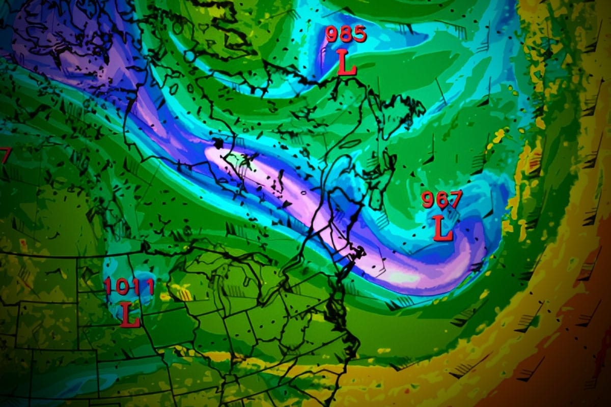
Now this system might look like just another clipper coming from the northwest on the surface maps, but it's actually the result of a "Potential Vorticity Streamer" descending from Northern Canada. I'm not going to just drop that jargon on you all without explaining it of course. There's a cold pool of air over Northern Canada that will cause the Stratosphere to drop even lower in the atmosphere, and when the jet stream hits this high level pocket of cold air it is going to pull it down into the Northeast creating a notable event in some ways.
This loop shows North America and pressures at the Tropopause generally around 25,000 to 36,000 feet up which is the boundary between the Troposphere where our weather happens, and the Stratosphere where the Polar Vortex lies. That bright purple to white thing that comes down through the Northeast is the Potential Vorticity Streamer, and it is cold, windy, and when it hits the ocean it will trigger explosive development, though likely too far out to sea to bring notable snow when that happens.
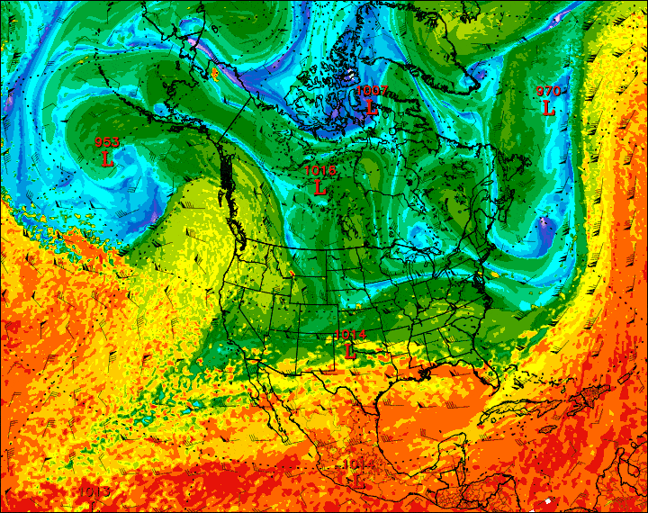
Modeling a couple of days ago was suggesting a strong secondary storm would form just off the coast, but now modeling sees two storms forming, both too far away to impact us. This is yet another reason why you can't accurately predict Northeast winter weather 7 days out... things change, and hits generally become misses and misses can become hits. We still have snow coming though, especially for Saturday. Here's what that looks like currently on the GFS surface weather maps for this 4 day period.
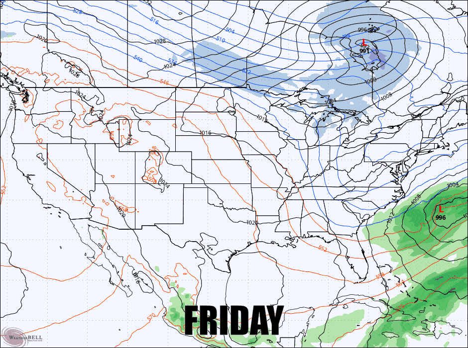
You might also notice the isobars building a ridge in the center of the country. This looks like a pattern change to me, not necessarily a flip but a change to an active weather pattern with more storm potential and some warm to cold cycling in the Northeast. This should also help the West finally get some snow starting in about a week.
I'm going to break down the weather outlook by the Snowfall Forecast, then the Temperature Forecast, and lastly the Wind Hold Forecast for subscribers but I will start with a brief 4-Day Weather Synopsis. You should of course be tracking the weather at your intended destination through our Weather section which now has hourly weather summaries for every East Coast ski area.


