There's a little bit of snow coming on Sunday and again on Monday but the big weather interest this weekend will be sticky snow potential in the northern half of the region on Saturday as a warm southerly winds push at least the lower elevations that have not yet cycled into sticky snow territory. Outside of the sticky snow potential however it's going to be manky fun and a preview of spring conditions across much of the Northeast with some wind issues especially Saturday AM and isolated threats Saturday and Sunday PM. Sunday things will refreeze at many ski areas and while we don't expect hardpack, the groomers may be pretty firm in some cases in the morning and some ungroomed terrain could become slick and even close.
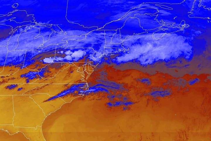
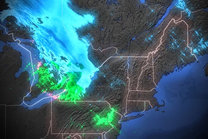
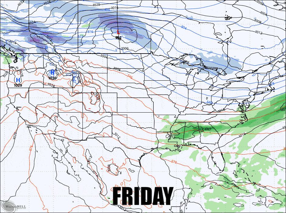
Here's a loop from the GFS showing the current modeling for precipitation through Monday to set this weekend up.
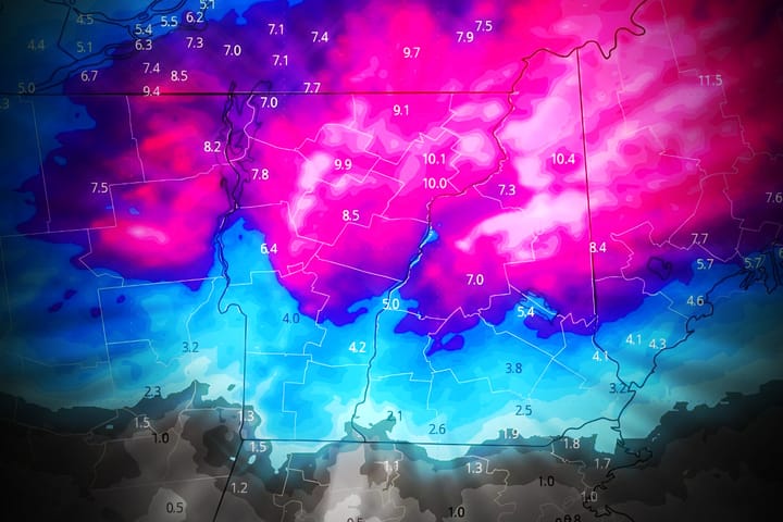
I'm going to go over the Snowfall Forecast, then the Wind Hold Forecast, and finally a Temperature Forecast focused on how to identify sticky snow potential and where those concerns are.

Indy Pass is guaranteeing over 300 pass partners for next season but due to their desire to keep traffic at ski areas manageable they will again be limiting pass sales. If you are not already a passholder on auto-renewal then you should join their waitlist now in order to secure an opportunity to purchase at the lowest prices offered for next season. Their waitlist is first come, first served.