OK folks, Wednesday will likely be your last powderish day for possibly about a week so if you can get out then do so, but this storm will only be beneficial in the northern half of the region (ADKs and Northern New England).
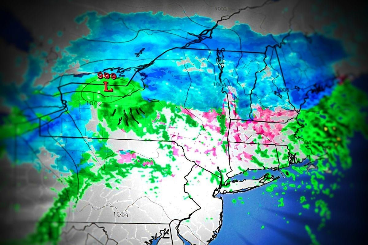
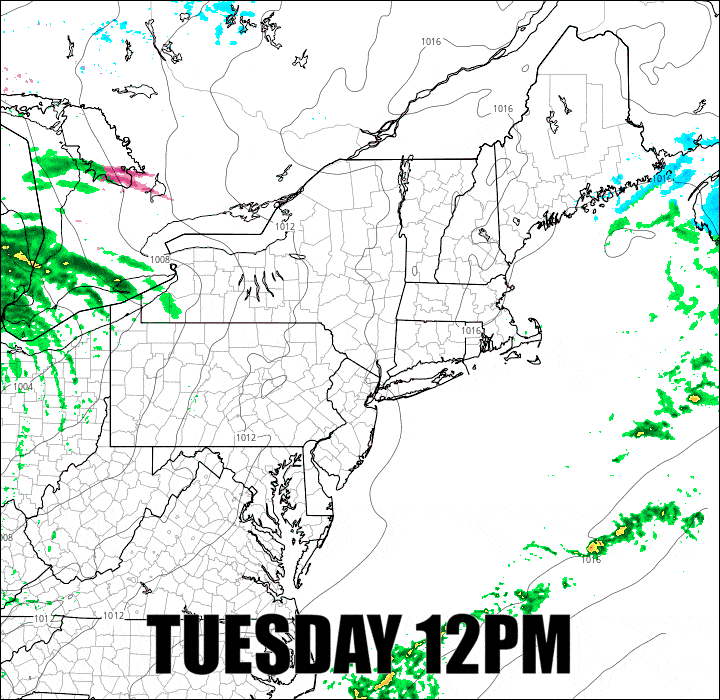
Here's a simulated radar loop covering noon today through noon on Wednesday to get this going.
Since this is just a "minor" storm coverage will be more to the point and focused on the precipitation as there are no other concerns with this system. I'll also give you a quick update on the weekend which doesn't look good overall, but there are probably going to be some dry opportunities and I'm going to help you find them.


