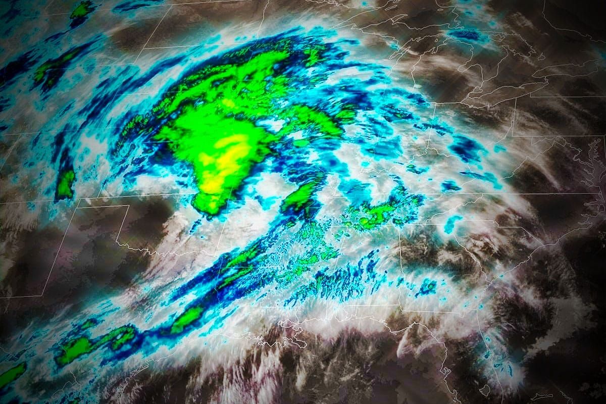
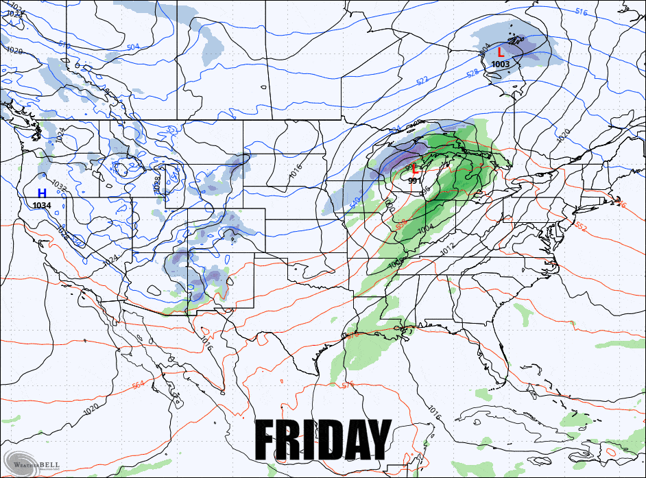
We have not one, but two different storms coming our way in the next three days, the first being a cutter and then the second being sort of a triple point low with a stronger low over the Great Lakes and a weaker coastal low that will help keep cold air locked in and bring snow and mixed precipitation Saturday evening into Sunday. It's not just the precipitation to look out for this weekend, we also have a flash freeze on Saturday after things have trended cooler along with some limited wind holds on Saturday and possibly again on Sunday afternoon.
There's a lot to cover so let's jump right into the broad view covering all three days.
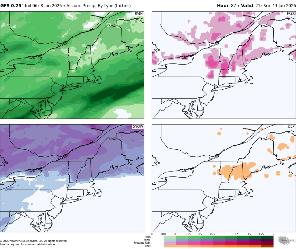
There will be good skiing and riding every day in the Northeast, but not in one place all three days. This is what the GFS currently sees through Sunday at 4PM in terms of the 4 main types of precipitation.
I'm going to walk you through this one day at a time with Daily Forecasts covering precipitation, temperature, and wind issues. While I might not give you the news you want to hear about a particular day at a particular place, knowing what to expect and adjusting your plans accordingly if you so choose is of course just as good to know. This will also be updated daily so that we can zero in on the effects.
Because these systems will dominate the next 4 days this will also serve as our Weekend Outlook.


