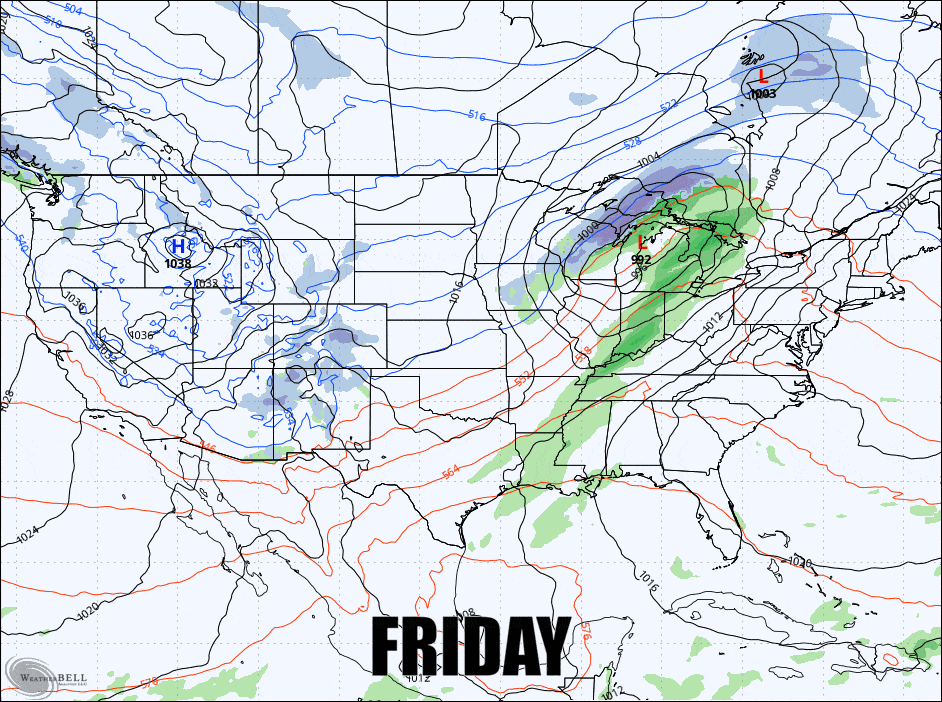
If you caught Storm Update #1 already I would say that things really haven't changed much except for higher confidence and a bit extra reprieve from the r@!n on Saturday. So let's jump right in to try to dial in the next two days of this storm and your weekend. This is the GFS 3-hour precipitation intensity map covering Friday through Sunday.
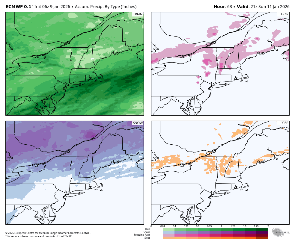
The following is the ECMWF breakdown of precipitation types through Sunday at 4PM as well. You should note that the r@!n won't be widespread in ski country, which is great news, but on the flipside we do have some ice on Friday night through Saturday morning that could cause some issues, and we do have some bonus snow that will certainly help conditions, but it won't be enough to bury the gnar. I do have some limited wind hold concerns also on both days that I will detail.
I'm going to cover the Daily Forecasts for Saturday and Sunday for subscribers, but I'm going to start with a little prologue for everyone to help you understand how to spot ski areas on weather maps.
Prologue
Many regional weather maps contain not just state lines but also county lines. They are included primarily as reference points for towns, cities, and in our case ski areas. I've included our standard map below without any data or legends to help you understand where each ski area is located. Those triangles are precisely placed over the summits of each ski resort except for a few that I have had to shift to make them fit. Peek'n Peek is placed a little east of its true location, McCauley is just a little north, Butternut a little north as well, and the sister resorts to Seven Springs are also a little north as well.
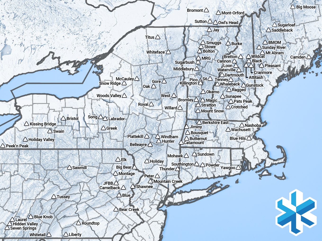
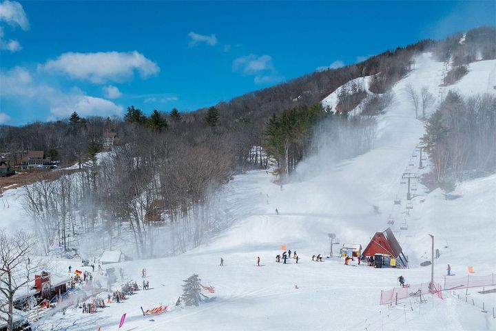
I've gotten a lot of questions recently from subscribers about expectations at ski areas despite these write ups, and while our weather automation will help a ton with such questions (it's dropping super soon), to get the most out of these articles you should know the location of your favorite resorts in comparison to the county lines. So save the map above if you wish, and use it as a guide.