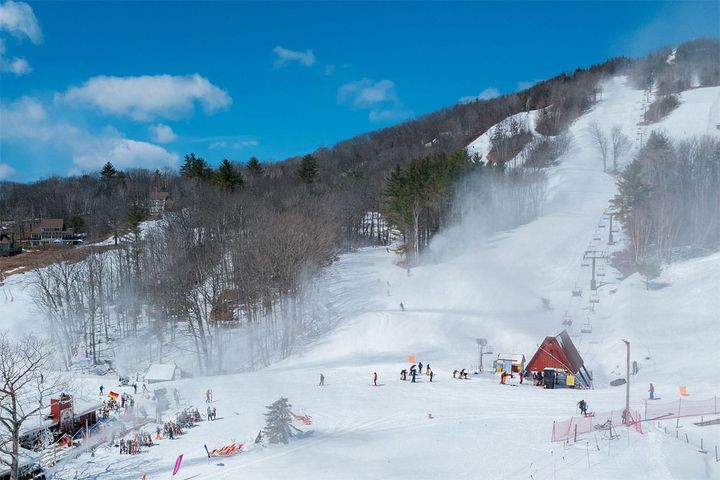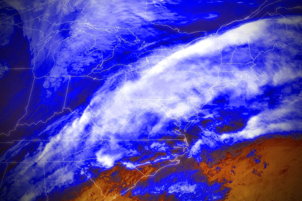
Today was pretty icy in spots due to yesterday's warmup and some r@!n, though not a ton generally, but when that freezes up it can make for tough conditions of course. The next round of r@!n is currently creeping north and it's going to bring the unfrozen stuff to the southern half of the region, and the frozen stuff in the northern half, and much of this won't be snow until you get into Canada.
We do have a bit of a back end that will come in the PM on Sunday to the western parts, and then continue overnight into Monday but wind will be an issue on Monday.
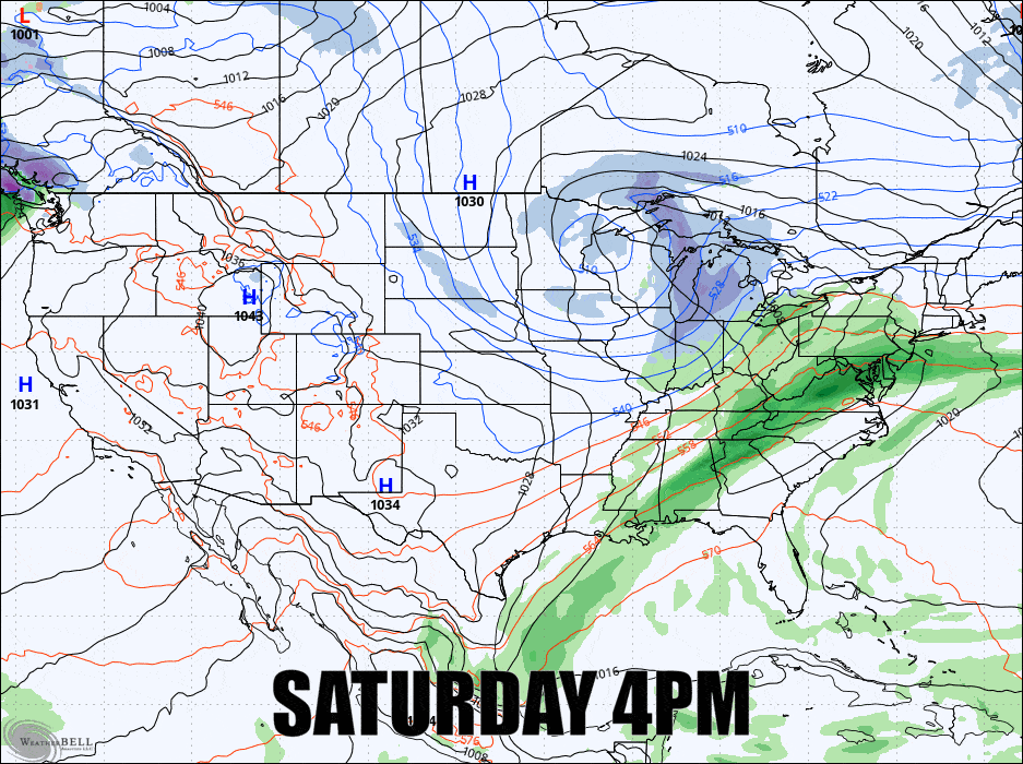
Here's a loop from 4PM Saturday through 7AM on Monday from the GFS showing 6-hour precipitation intensity (different from simulated radar).
I'm going to cover both the Sunday Forecast focused on the precipitation types and what to expect, and then a Monday Forecast talking about the additional snow and the wind holds.