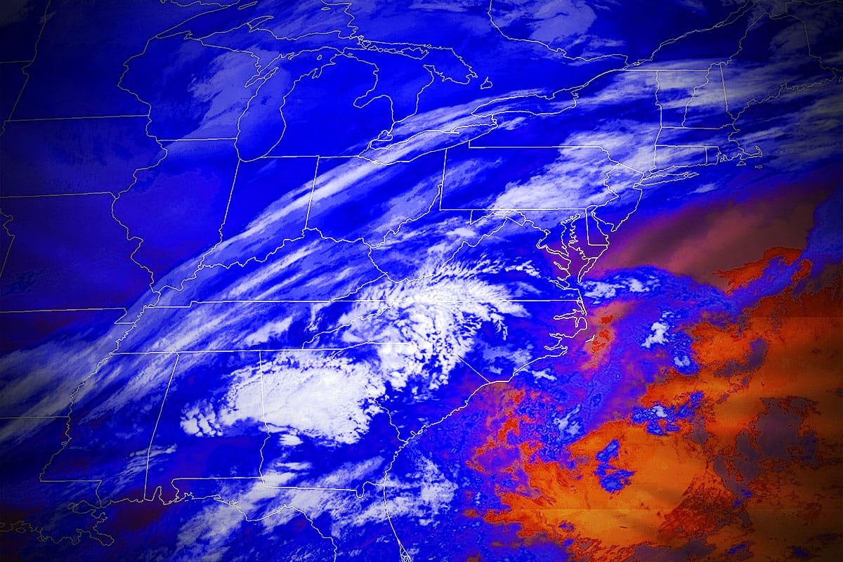
This storm could have jumped to the coast and become a widespread snowmaker and a moderate intensity storm but there's another disturbance on the same trough that is going to rush up the coast along a jet streak and keep this thing away from the water and it has been progressively pushing it back further to the northwest over the last day's model runs. The end result means we're going to see only all snow in just a part of the Northeast with a transitional elevation storm where in many cases it starts as r@!n before transitioning to snow. The good news I guess is that there isn't a lot of r@!n in general for ski country though there are some exceptions of course.
Focusing on the positive though, there will no doubt be some winners with 19 tracked ski areas forecasted with 6" of snow or more, and we may see some approach a foot as a matter of fact.
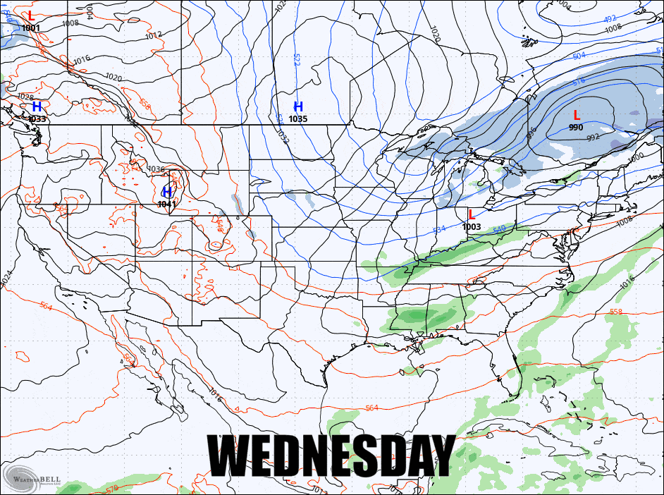
Here's the broad view covering from 7AM on Wednesday through 7AM on Friday from the GFS showing 6-hour precipitation intensity, but note, this will mask some of the r@!n as colder precipitation types tend to override warmer ones when there is mixing.
I'm going to first give an update about the Powculator in relation to this storm, and then for subscribers I'll jump into the Snowfall Forecast for Wednesday and Thursday, and then cover Wind Hold Forecast on Friday along with information about the cold hit that coincides.
Powculator Update
We did make a couple more changes to the Powculator last night to hone in one adjustment and add another. Verification testing is now practically dead on for the season as a whole with the exception of a handful of individual ski areas that don't model appropriately (known issue) and we'll fix those by the weekend. We also started work on some navigation improvements to make moving from one ski area to another easier and we'll have that launched very soon.
The snowfall forecast in this update was done entirely manually, but I don't think there is anywhere that I differ by more than 2" with the Powculator, and most of it is dead on. I'm honestly floored by how well it is working, especially with an elevation storm and a changeover. Mind you, when less than 1F can mean the difference between snow or r!@n you can expect the outcome to vary, but it's mimicking my forecasting intuition almost perfectly here. That won't always be the case, but it will often be the case.
Given how borderline this storm is overall with precipitation types and how it has been drifting northwest, the Powculator is a better resource for this storm than once a day forecasts where I might correct an inch or two here or there. Once the snowfall starts, The Powculator also keeps track of what is believed to have fallen, but there will probably be some instances where it is off based on very tight tolerances in an elevation/changeover storm but the last mixing event it handled it overall very well. It updates every 3 hours starting around 1:30AM.


