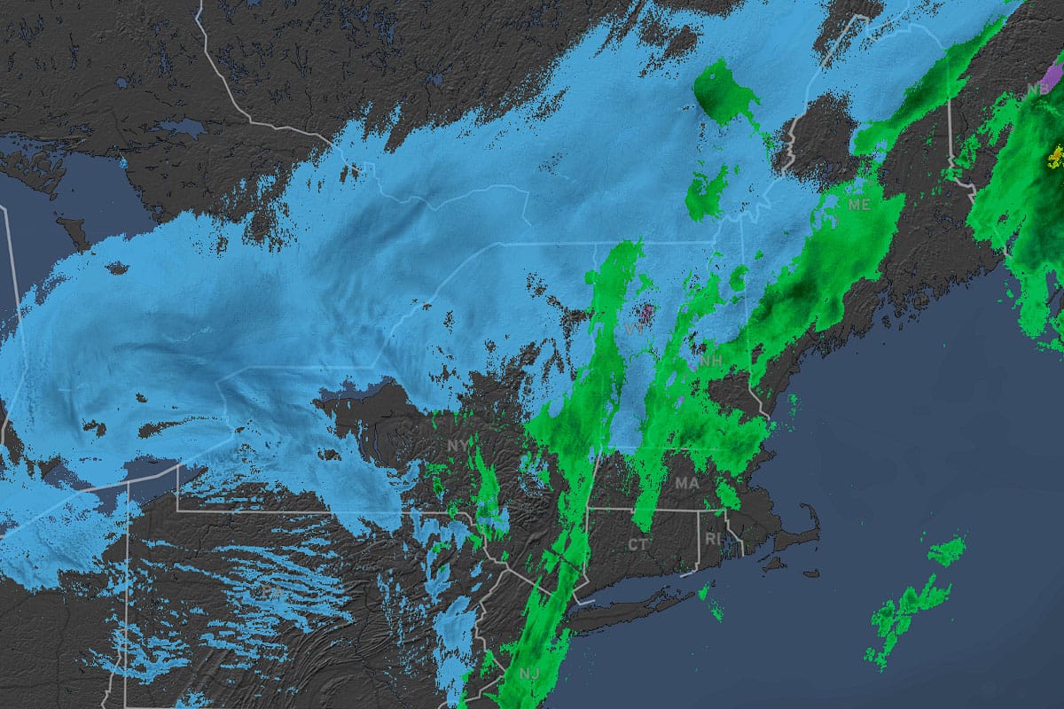
We saw some mixed results in this elevation storm with the warm air and r@!n overperforming in E-PA and C-NY, but the cold and snow overperformed in Northern New England.
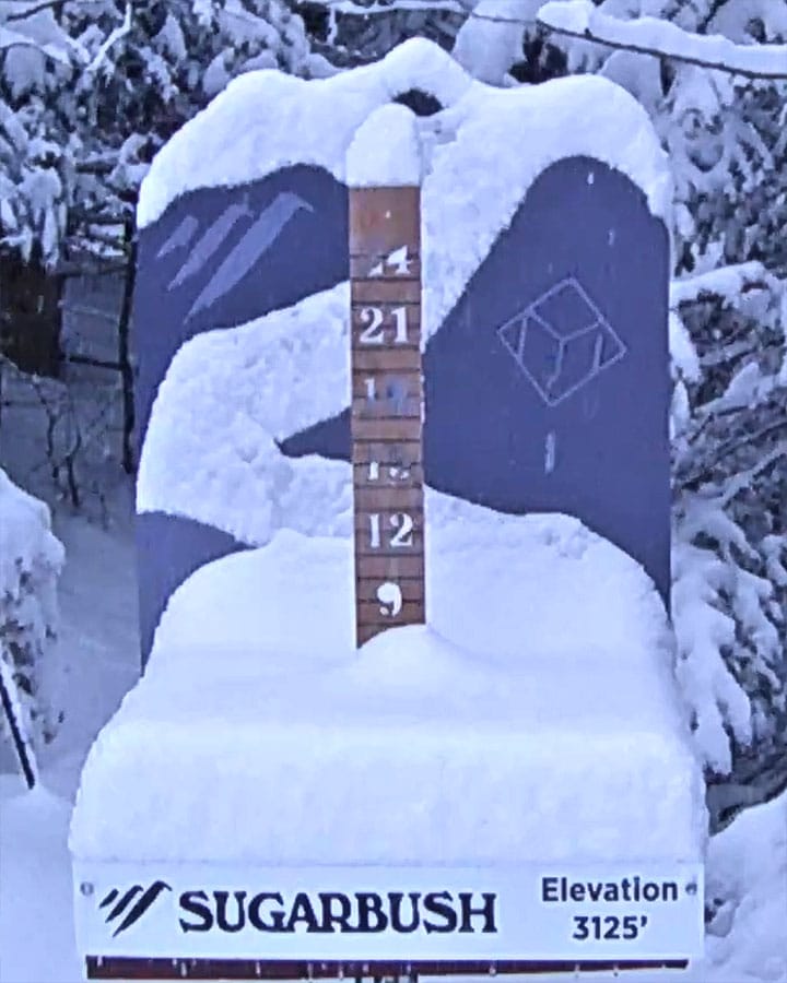
Sugarbush seems to be the biggest winner so far and reported 7" this morning (though their stake shows 6"), and south of them in VT we generally saw about 2"-3" based on reliable reports and cams (Okemo and Mount Snow reported 1" more than their cams showed).
We did however see r@!n at the bases in Northern New England until sometime this morning in most cases, but it does appear that half way up the mountains and above along the Green Mountain Ridge they stayed snow and the same is likely true of the Whites and Longfellows. Clearly the summits are where to be and this was a heavy wet snow which is great for covering up the gnar.
In PA and NY we saw Seven Springs come in at 4" so far, Kissing Bridge 6", Peek'n Peak 5", Holiday Valley 2", Whiteface 3", Titus 3", and Gore at 2".
We still have about 24 more hours of snow to go on the back end of this storm and I'm going to cover that for subscribers with a Forecast Update covering both the snow on Thursday and then the wind holds on Friday behind the storm.


