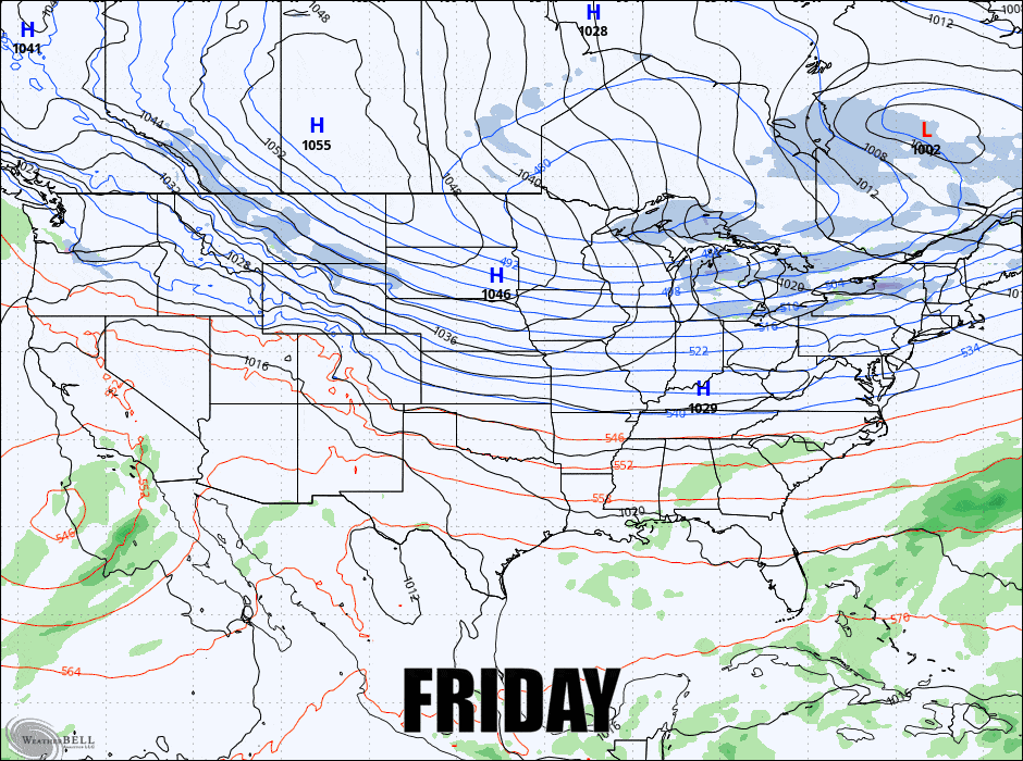
Well, I'm going to change my mind on this storm somewhat, but in a good way, and we'll get to that eventually. I did shift the days for the storm due to timing changes also though it overlaps a little bit into late Saturday and early Tuesday. We'll start off with the GFS 6-hour precipitation intensity from Friday through Monday.
There are currently two main sources of disagreement in the models, though a trend is starting to form. The ECMWF isn't quite giving up on the track up the western side of the Appalachians before it hops the low to the secondary strengthening on the coast. The Deterministic GFS is still however favoring the eastern track which produces a weaker coastal storm that doesn't get quite as far north. This shows the low locations across all 50 members of the ECMWF Ensembles at a critical time in how it evolves.
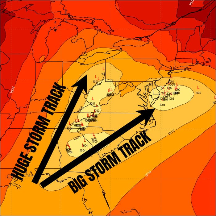
Here's the issue. The surface lows hate mountains and love the ocean. This developing low is going to be aimed right at the tip of the Appalachians and that low is going to have to pick a side. This is like throwing a basketball at a pole and trying to guess which side it will bounce towards. It's that close and that's why models are having issues sorting this out still, in fact some ensemble members sort of get stuck at the base of the chain. One way or another we're getting a lot of pow, but I think I know which track virtually everyone is rooting for.
I'm going to present this in just one section for subscribers called the Snowfall Forecast and I will first dig into the travel issues on Sunday because I know that is important. This storm is not a joke, it's a snow tire white knuckle storm to drive in. I recommend not driving through the worst of it and there will likely be some road closures at times along with states of emergency. Post up or stay home until the next day.


