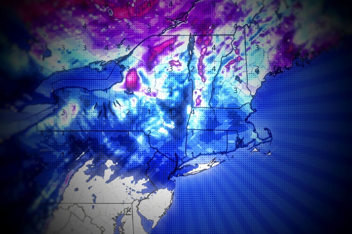
We have a fairly uncomplicated clipper coming in with a back end that should last through some point on Thursday with both lake effect and upslope enhancement lasting through some point on Thursday. This is going to be a sleeper storm because mets from major markets tend to not hype the snow as much when it doesn't come up the coast and mainly falls in the mountains, and that means if you hit this right it shouldn't be too busy and also the drive up won't be the same as it was a nor'easter with maybe only up to 3" of snow in the valleys but up to a foot should fall on some mountains over 2 days.
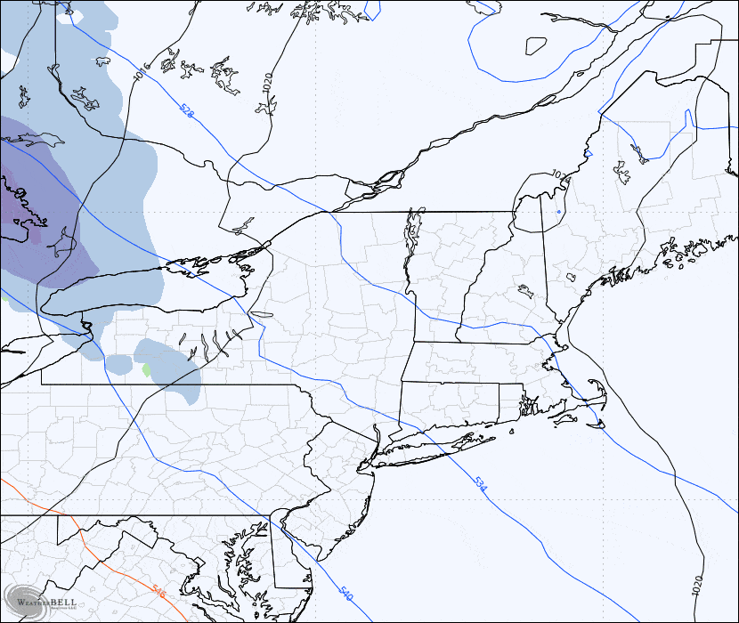
Here's a look at the GFS from Tuesday at 7AM through Friday at 7AM to get us started.
I'm going to cover the Snowfall Forecast and the Wind Hold Forecast for subscribers below. This forecast will also be updated again on Tuesday. Subscribers can track the Powculator for changes at individual resorts as the modeling changes no matter what time of day.


