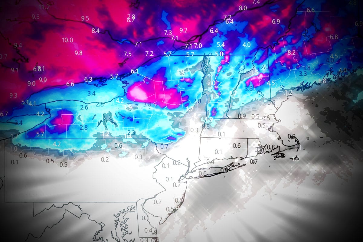
We're calling this an actual "storm" now with widespread 4"-12" of snow expected through Sunday morning at about 50 Northeast ski areas. This update will also serve as the Weekend Outlook with a focus on the snow, wind, temps, and conditions across the entire Northeast this weekend.
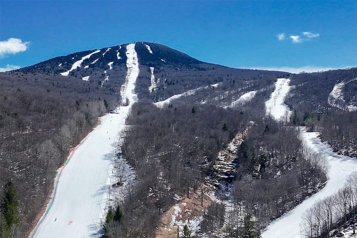
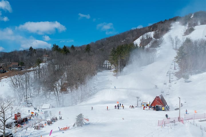
I'm not going to sugarcoat things, the 'Big Melt' was even worse than I expected. When natural snow hasn't been r@!ned on or melted through much of the season it is less dense and therefore less tolerant to melting. There aren't going to be a lot of places to hunt the natural terrain this weekend, but there will be some and I'll share what I know. This however will absolutely help save conditions from being full on boilerplate in northern ski areas and that's a big win, plus it will look a whole lot prettier with a fresh coat of white. Where it doesn't snow or doesn't snow much, for the most part we will see softening by the afternoon and spring is still going to be in session in much of PA, NJ, Southern New England, S-NH, and S-ME, though it will also snow above freezing in some of those areas. Nothing too messy either but the corn needs to regrow.
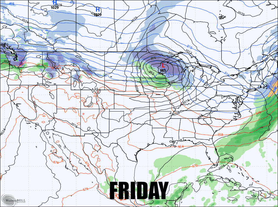
Let's look at the latest GFS covering all of Friday through Sunday to start.
I'm going to break this down into the Snowfall Forecast with extra detail on conditions, then the Wind Hold Forecast, and then a Temperature Forecast as that will matter a lot for conditions aside from the snow.