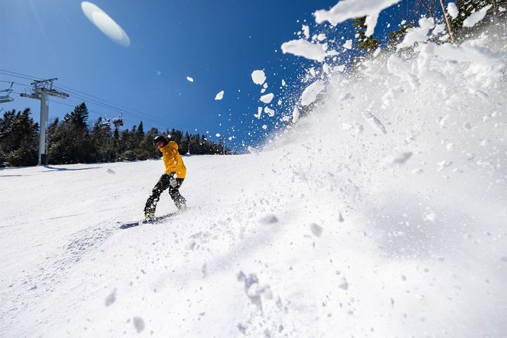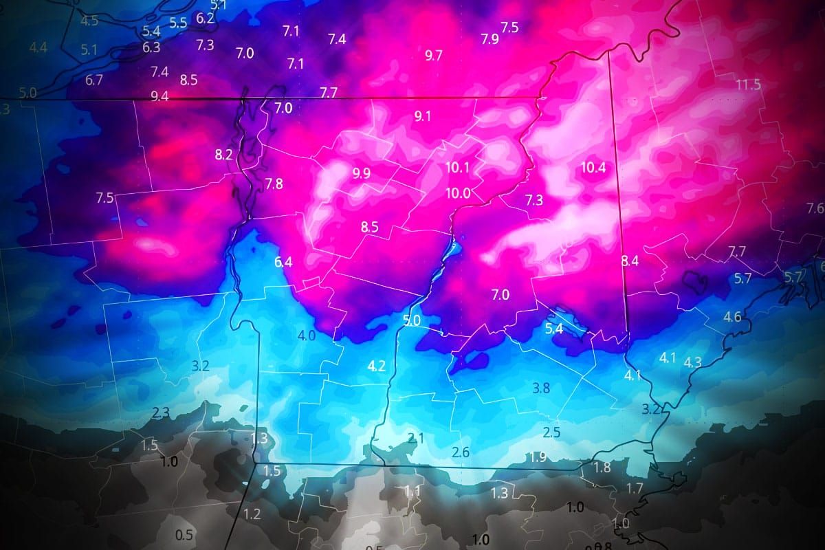
Let me just break this down as succinctly as possible, there's going to be some fantastic skiing with midwinter conditions through Wednesday in the far northern areas. Right now the Powculator is predicting 6" or more of snow from today through Tuesday morning at 43 ski areas. Part of that is the system that just dumped a reported 7" at Whiteface and is presently stacking up the fluff in N-VT and N-NH and it will make its way through N-ME tonight. Then we have another system that will come through on Sunday and Monday focused on many of the same areas but with more snow to the south. It's not a big system, but when you add them all together we're talking about some real pow. Mother Nature might not have a lot left in her so don't miss out! Late season is also a great opportunity to hit weekend pow without long lines, and there are definitely some sleeper spots that are going to come back to life by the end of the weekend.
Let's start the coverage with the broad view of the GFS using 3-hour precipitation intensity.
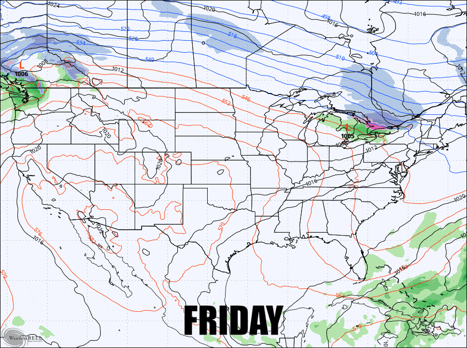
I'm going to focus on the Sunday-Monday Forecast in one block, but we probably will have some additional small accumulations of snow on Tuesday and Wednesday to keep these areas refreshed so make sure to check out the Powculator. I will also quickly visit the next notable storm on Thu-Fri.