It's amazing how two somewhat small storms can really save a late season weekend from the gnar with a powder party, and this should extend into Monday and even Tuesday in isolated spots. We do however have some r@!n to dodge on Sunday, more than was previously expected, and there are some isolated wind hold concerns on Sunday now also. This will be our last full storm update for this system however the snow from it will not taper off until Tuesday morning.
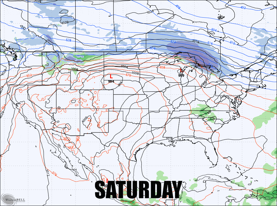
Here's the broad view of this system from Saturday night through Tuesday morning to start things off.
I'm going to cover the Snowfall Forecast with a focus on the timing of the snow since it spans 3 different ski days, as well as a discussion about variability in changeover zones and a bonus zone Monday evening. I'll also cover the Wind Hold Forecast for Sunday also as there are now some isolated marginal concerns.