Let me start out on a positive note. If you hit Sunday through Tuesday right, you definitely scored with over a foot of snow falling in some cases and that came on top of the Friday storm that impacted the same areas. There was some fantastic skiing to be hand. We did have some unexpected widespread freezing mist in Northern New England on Monday rather than the light snow that was being modeled but when convergence kicked up Monday afternoon that got topped off nicely in most cases making Tuesday a bonus day. Note that as we get into late March snow reporting in many cases becomes highly erratic as seasonal staff move on.
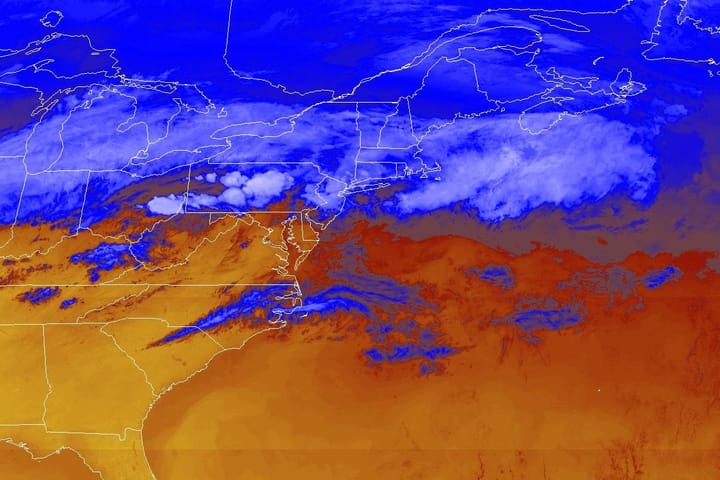
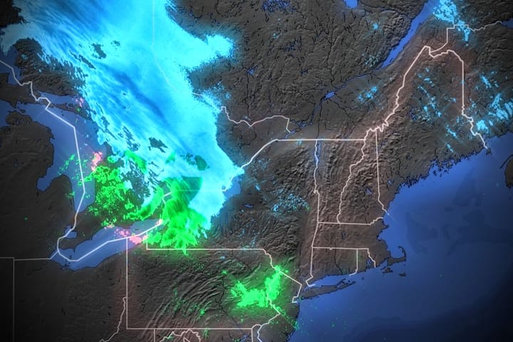
As far as this update goes, I don't think I've done a standalone Storm Update yet this season for primarily r@!n, but here we are. The good news is that Thursday will be widely skiable, but the bad news is that there will be wind issues, sticky snow, and the bulk of the r@!n comes Thursday night and then we flash freeze. So whether or not you are out during the week but plan to ski this weekend, then you probably want to pay attention.
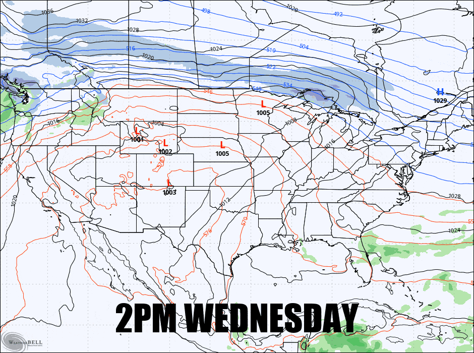
And with that here's the GFS wide view running from 2PM on Wednesday through 2PM on Friday to set this up.
I'm going to cover this in just one Storm Forecast and then I'll drop a quick note about the Storm Outlook with the next system in the pipeline on Monday. I don't tend to dwell a ton on writing about the finer details when the hunting opportunity is limited.