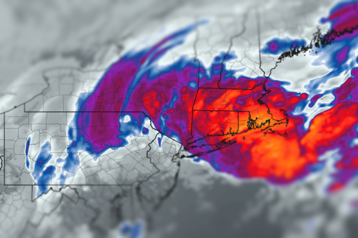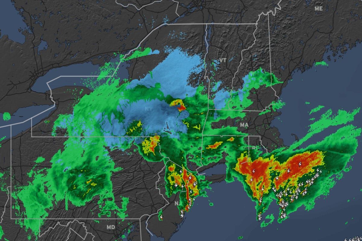
I've updated the coverage through the entire back end of the storm which should taper off late Sunday night adding some snow in a second wave as some slightly colder air descends from Quebec.
My guidance yesterday for a shift south with the snow did in fact play out and the ECMWF was more skilled for this storm in the medium and short ranges, but that's not the norm. I did favor that track because the GFS ensembles as well as the AI enabled versions of the GFS and ECMWF were all favoring that which made it an easier call, though a less snowy one unfortunately. Here's a look at a loop from the new RRFS (Rapid Refresh Forecast System) which unfortunately has displaced the NAM models which I made heavy use of and were particularly skilled with upsloping snow. This shows 3-hour precipitation rates.

I'll update the forecast again, but more importantly I'll also give a broader peek into snowmaking at the early openers in order to help you all gauge when opening day finally arrives!