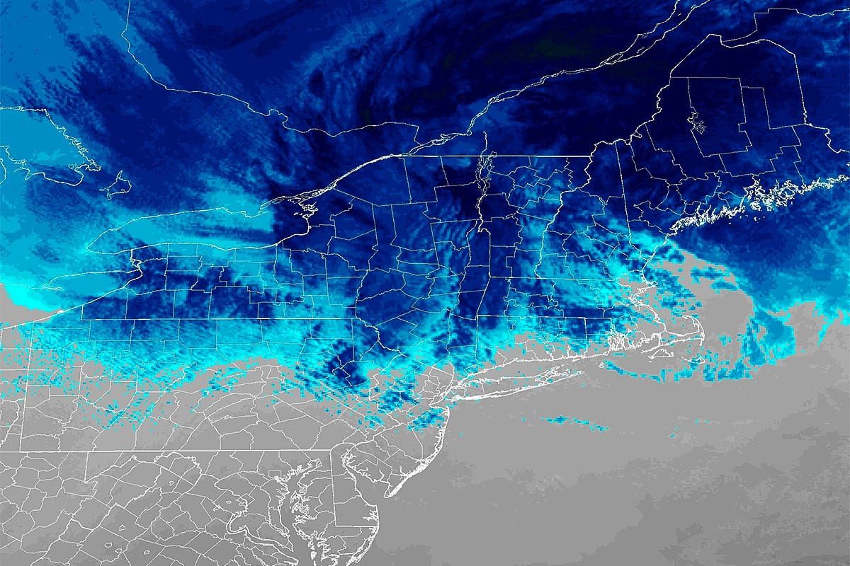
The storm is roughly halfway over across the Northeast as of closing time today with a bit more of front end passing through the Longfellows and the back end starting to kick up in Vermont after covering much of NY with snow showers and squalls. I'm actually pretty confident now that we'll see at least a foot from this storm in parts by just after midnight and there are two ski areas that might be deep in the morning who were not operating the last two days.
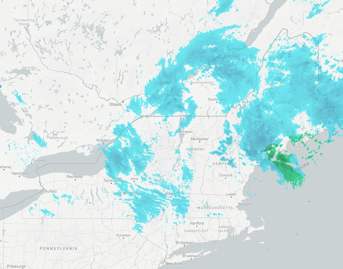
The actual radar at 6PM looks a bit different with far more moisture coming off the lakes with enhancement and that's going to result in a little bit of overperformance on the back end.
I'll cover the Snowfall Forecast and the Wind Hold Forecast for subscribers. It will be another pow day on Wednesday! Possibly the last somewhat widespread pow day of the 2024/2025 ski season, though we will surely see more snow of probably lower amounts in a less widespread fashion unless we get lucky and the stars align (or maybe the troughs and shortwaves to be more accurate).


