I issued a Storm Watch on Thursday for the storm coming through the region starting Tuesday. I didn't share the glorious snowfall maps (and let me tell you some looked pretty damn good), I didn't tell you to take a day off from work, and I didn't tell you to buy milk and bread. Instead I told you this:

So here's the skinny on this storm 36 hours later. The issue that I identified in the Storm Watch with the snowier GFS being more prone to breaking may have broken. Right now I think notable snow is more likely to be just in Southern New England and NY Metro but we still have some time for that track to shift and for the storm to amp up more. Let's face it, snow at home is the worst type of snow.
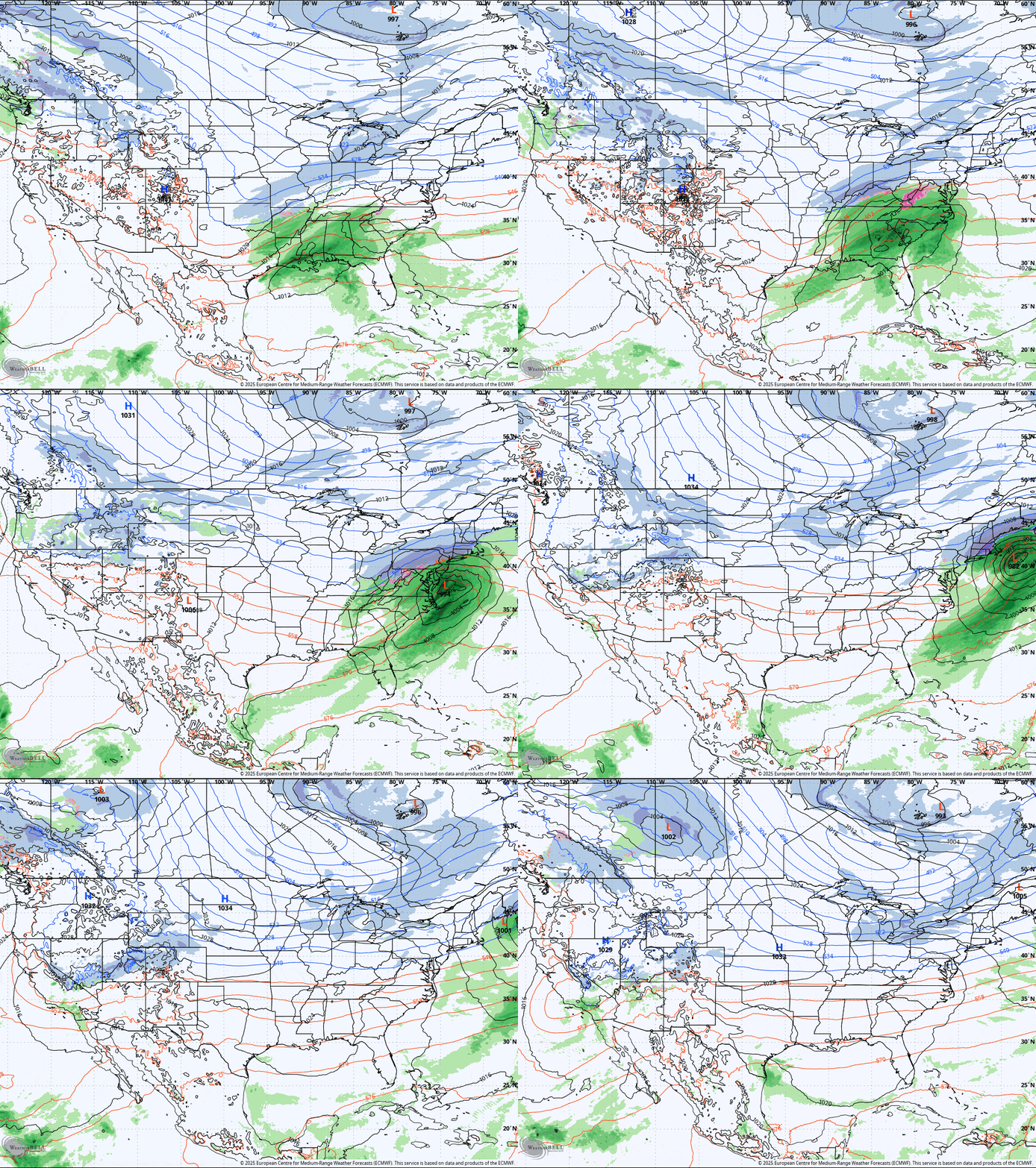
Here's the ECMWF which right now I believe has the best handle on this storm.

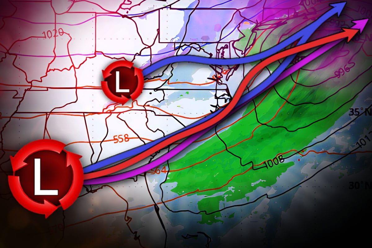
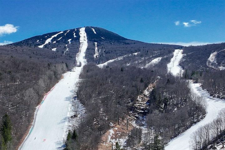
I'm going to spend this update going over the three different scenarios from the leading models and explore what is different and what I think more exactly will happen. I'll be honest, with no natural snow base outside of N-VT and little snowmaking terrain open, this needs to drop at least 18" to be huntable in some spots because having just two runs open on a powder day isn't worth the trip for many. It may also be a Wawa Express (slightly better than the Yawgoo Express).


