This update will be less detailed than last night's first update regarding the minor storm that comes in tonight and exits the Northeast early on Monday. There are updates to the simulated radar, snowfall forecast, and wind hold forecast with the addition of a wind hold forecast for Monday also. We call this a minor storm since only a handful of ski areas might see +6" of snow and wind issues will also be fairly isolated (though impactful if they affect you of course).
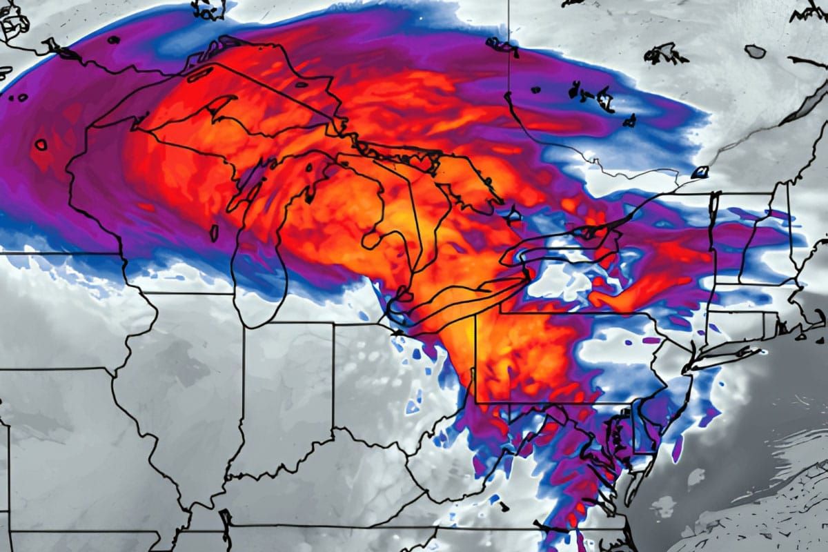
This storm has been a prolific snowfall producer in the Midwest today with up to 18" of snow expected however the storm will mature and loose it's focus as the leading edge stretches out along and occluded front as mature storms do. It will also track up the St. Lawrence Valley and that means warm dry air will mix in over the Northeast keeping precipitation amounts generally lower and the fluff factor also may be impacted, but thankfully the cold air is entrenched enough that most will stay snow.
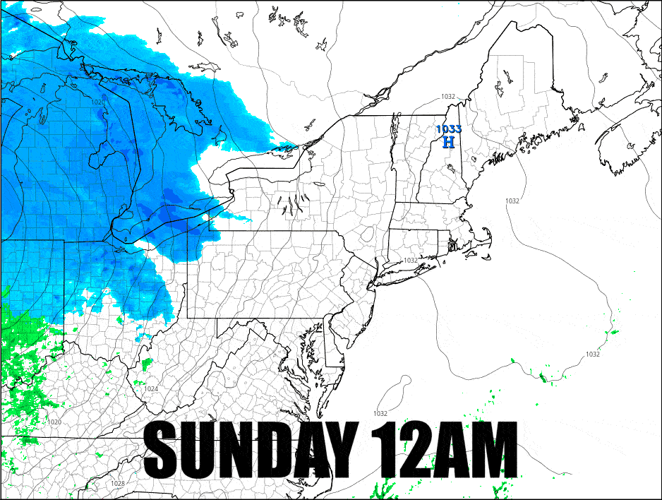
Here's the updated simulated radar that I've timestamped and covers all of Sunday and half of Monday.